What is recorded here
In gently undulating improved pasture on a slight N-facing slope. Visible as a roughly circular area (diam. c. 8m) on an aerial photograph (Bruff 5/2081). No visible surface trace at ground level.
Compiled by: Jean Farrelly
Date of upload: 26 August 2011
The monument record does not grant public access. Check the route and ask the landowner before entering private land.
- What survives
- Recorded monument
Places near here
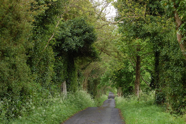 Enclosure in BallyhoneEnclosure · 196 yd
 Glebe Ho.Castle, unclassified · 1082 yd
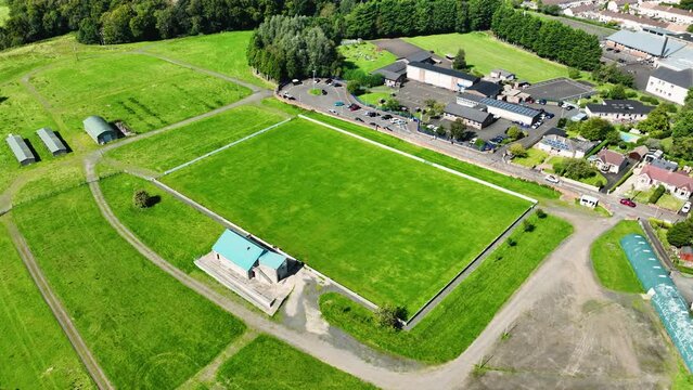 Field system in BallyhoneField system · 1146 yd
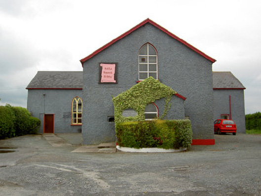 Halla Naomh Ailbhechurch/chapel · 1709 yd
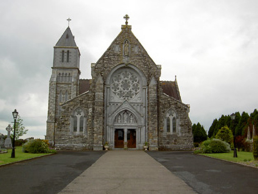 Saint Ailbe's Catholic Churchchurch/chapel · 1.0 mi
 CastleCastle, motte · 1.1 mi
 Carn (site of)Cairn, burial cairn · 2.4 mi
 St Patrick's WellSpring · 2.7 mi
 Flat cemetery in Knockainy WestFlat cemetery · 3.4 mi
 Saint Patrick's WellSpring · 3.6 mi
 Kilteely HillMountain / peak · 4.0 mi
 Ballinvreena LoopVisitor information · 5.7 mi