What is recorded here
On a slight natural N-S hillock, a little below the crest of a hillside on gently sloping very wet grassland, on the W slopes of small N-S river valley. There is a stream running immediately outside the SE quadrant and another stream c. 40m to the N-NW, both indicated on the 1st (1839) ed. OS 6-inch map. There are fair views to N-E-S, but limited by rising ground to W.
A flat, waterlogged oval platform (dims. 30m N-S; 25m E-W) defined by scarp (H 0.9-1.5m) and external berm (Wth c. 7m E and W side; 10-15m N and S side) of lower oval mound (H c. 0.5-1m above external ground level), possibly a modified natural hillock.
Compiled by: Jean Farrelly
Date of upload: 24 March 2020
Stepped barrow, likely dating to the Early Bronze Age. Its construction reflects ritual burial practices associated with the emergence of social stratification and metalworking in the British Isles.
The monument record does not grant public access. Check the route and ask the landowner before entering private land.
- What survives
- Recorded monument
Places near here
 Enclosure in Gaulstown LowerEnclosure · 680 yd
 Enclosure in Ballydowel BigEnclosure · 1278 yd
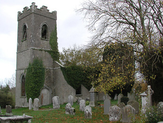 Ballinamara Churchchurch/chapel · 1296 yd
 Bawn in SartBawn · 1432 yd
 Not indciatedCastle, unclassified · 1462 yd
 Church in ruinsChurch · 1.4 mi
 Brown's WoodWood · 1.8 mi
 The CopseWood · 2.0 mi
 Freshford LoopWalking route · 2.3 mi
 Emma Jane Browne-ClaytonMemorial · 2.6 mi
 Graveyard in ThreecastlesGraveyard · 3.3 mi
 Clomantagh HillMountain / peak · 5.6 mi