What is recorded here
On low-lying ground, in the flood-plain of a stream. Depicted as a circular enclosure with the designation 'Fort' on the 1837 ed. of the OS 6-inch map. A circular mound of earth and stone (diam. at base c. 18m; H 0.85-1m). The top is flat (diam. 12.8m) and is enclosed by fragmentary remains of a low bank of earth and stone (H 0.1-0.3m). At the base of the mound is a shallow fosse (Wth 3.1-3.5m; D 0.4m). At the outer lip of the fosse is a second bank (Wth 2-2.8m; H 0.2-0.45m) with traces of an external fosse (Wth 1.7m; D 0.15m) which is identifiable from SE-S-W. The original entrance is not recognisable.
Compiled by: Patrick F. O'Donovan
Date of upload: 26 August 2011
A Neolithic ring-barrow, dating to the early first millennium BCE. Its presence indicates prehistoric settlement activity in the Tully area, though specific archaeological significance remains undocumented.
The monument record does not grant public access. Check the route and ask the landowner before entering private land.
- What survives
- Recorded monument
Places near here
 Hachured fortFairy fort / earthen ringfort · 577 yd
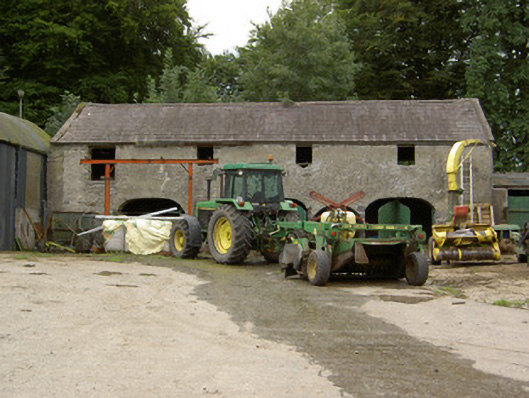 Tully Houseoutbuilding · 582 yd
 Field system in Deerpark (shrule By.)Field system · 1156 yd
 IndicatedHouse, indeterminate date · 1230 yd
 CastleCastle, motte · 1.3 mi
 Pedunculate OakPedunculate Oak · 1.7 mi
 European BeechEuropean Beech · 1.7 mi
 Not locatedCastle, unclassified · 2.3 mi
 Abbeyshrule AbbeyRuins · 3.0 mi
 Goldsmith Birthplace, PallasVisitor information · 4.1 mi
 Newcastle WoodsForest · 4.5 mi
 National Famine WayWalking route · 4.6 mi