What is recorded here
On the N bank of a now dry meandering stream, in low-lying wet pasture. A circular enclosure (overall diam. c. 14m), defined by a fosse and what appears to be an outer bank, visible on satellite imagery (Google Earth satellite imagery, 18 November 2018), identified and reported by Jean-Charles Caillère. There are a lot of barrows in the general vicinity, including a large barrow (TS066-057----) c. 170m to the WNW and a ditch barrow (TS066-057001-) c. 200m to the W.
See attached:
TS066-230----_01 Google Earth satellite image (imagery date, 18 November 2018)
Compiled by: Jean Farrelly
Date of upload: 8 January 2022
A ring-barrow, likely dating to the Early Bronze Age, associated with burial practices involving circular enclosures and ditches. Its location near a former stream suggests a possible ritual or strategic significance in the landscape.
The monument record does not grant public access. Check the route and ask the landowner before entering private land.
- What survives
- Recorded monument
Places near here
 Enclosure in Shronell (bruis Par.)Enclosure · 382 yd
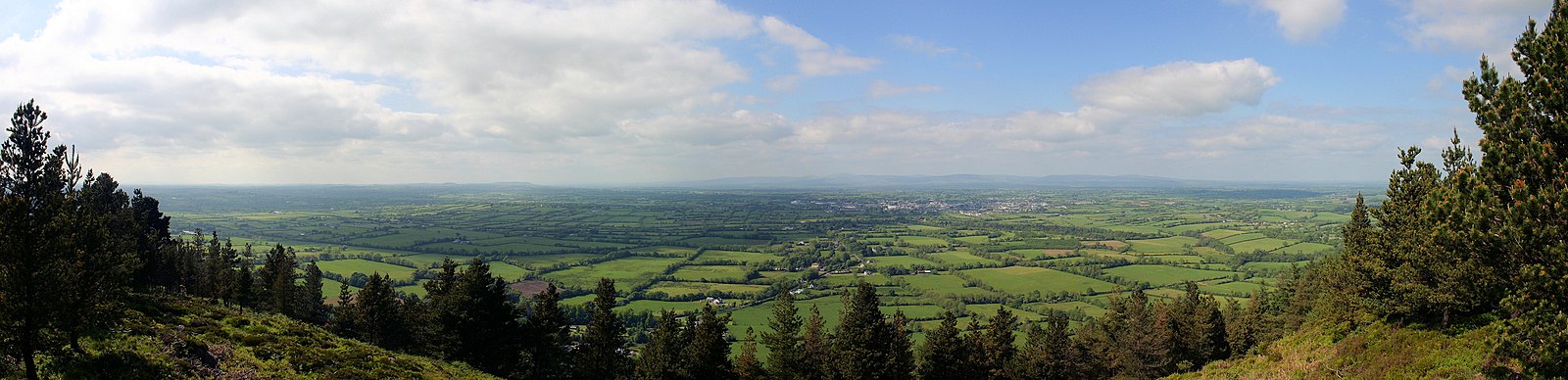 RathfaunEnclosure · 430 yd
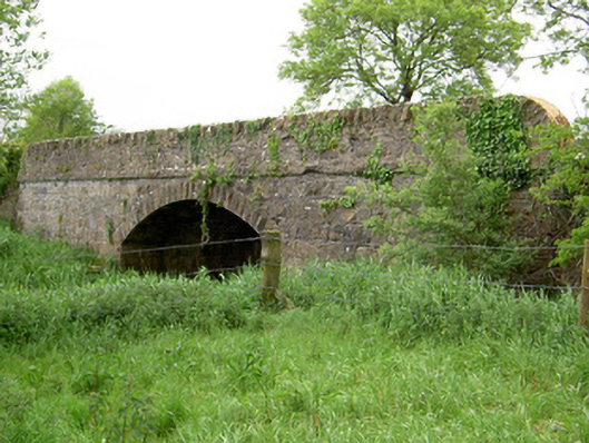 Bohereenbuee Bridgebridge · 1124 yd
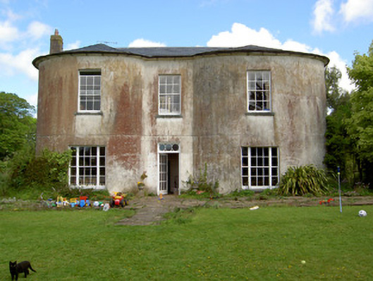 Shronell Househouse · 1356 yd
 MoatCastle, motte · 1385 yd
 CastleCastle, ringwork · 1.1 mi
 SlievenamuckMountain / peak · 2.4 mi
 Bansha ForestForest · 2.7 mi
 Glen of AherlowViewpoint · 3.7 mi
 Christ the KingViewpoint · 3.8 mi
 The RockViewpoint · 3.8 mi
 Oola HillMountain / peak · 4.7 mi