What is recorded here
Within enclosure (TS066-060----), off-centre to N. An adjacent ring-barrow (TS066-060001-) is located to the SW. A circular area (diam. 6m) defined by a fosse (Wth 1.65m; D 0.15m) NNE-S-NW and low outer bank (Wth 1.95m; int. H 0.15m; ext. H 0.05m) visible in the NE quadrant and ESE-S-SSW. Only the scarp (Wth 1.15m; H 0.2m) of the interior is evident in the N quadrant which is c. 2m to SW of the enclosing monument. The interior is grass covered and has a gentle S-facing slope.
Compiled by: Jean Farrelly
Date of upload: 26 August 2011
A Neolithic ring-barrow; its fosse and bank construction suggest a funerary or ceremonial function within a broader prehistoric landscape. The presence of an adjacent ring-barrow indicates a possible burial cluster or ritual site.
The monument record does not grant public access. Check the route and ask the landowner before entering private land.
- What survives
- Recorded monument
Places near here
 Enclosure in Ballynahow (bruis Par.)Enclosure · 419 yd
 Enclosure in Shronell (bruis Par.)Enclosure · 642 yd
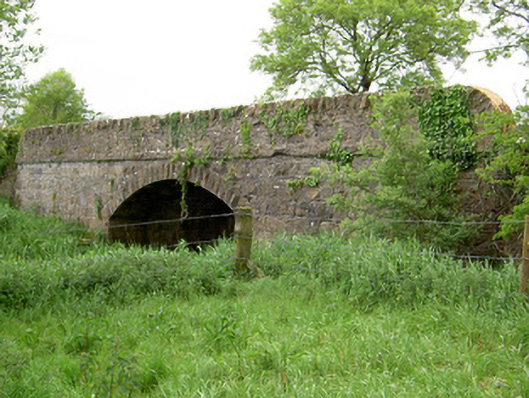 Bohereenbuee Bridgebridge · 879 yd
 Mount Bruishouse · 1046 yd
 MoatCastle, motte · 1106 yd
 CastleCastle, ringwork · 1.3 mi
 SlievenamuckMountain / peak · 2.2 mi
 Bansha ForestForest · 2.5 mi
 Glen of AherlowViewpoint · 3.4 mi
 Christ the KingViewpoint · 3.5 mi
 The RockViewpoint · 3.6 mi
 Knockanebrack HillMountain / peak · 4.5 mi