What is recorded here
On the crest of a hill in pasture. A totally overgrown, level circular area (est. int. diam. c. 20m) is defined by three low, wide earthen banks with three intervening fosses (ext. diam. c. 64m). The outer bank acts as a roadside field boundary NE-ESE (O’Riordáin 1950, 273)
Compiled by: Gearóid Conroy
Date of upload: 08- June 2012
A Neolithic ring-barrow, c. 3000–2500 BCE, representing an early form of communal burial monument. Its concentric banks and ditches reflect early earthwork construction techniques and social organization in the Neolithic period.
The monument record does not grant public access. Check the route and ask the landowner before entering private land.
- What survives
- Recorded monument
Places near here
 Punchestown LongstoneArchaeological place · 1227 yd
 Enclosure in Cradockstown WestEnclosure · 1398 yd
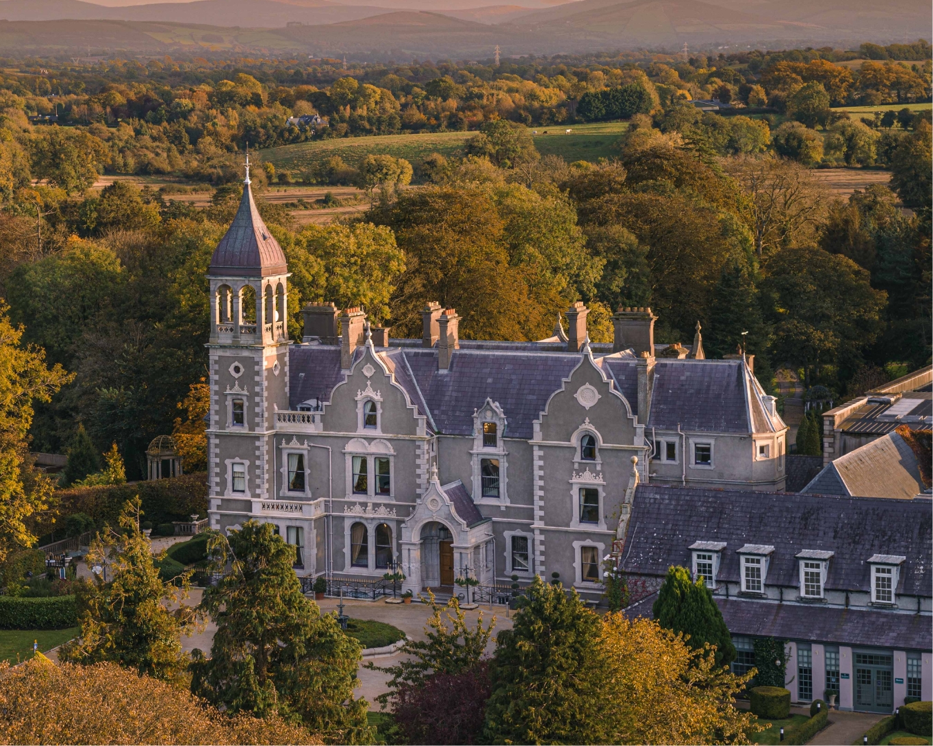 Church in Killashee (killashee Ed)Church · 1.1 mi
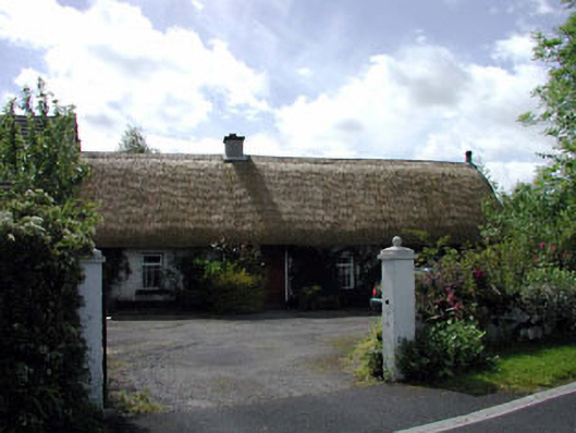 farm housefarm house · 1.3 mi
 Site of CastleCastle, unclassified · 1.5 mi
 Blackhall Castle (in Ruins)Castle, tower house · 1.5 mi
 Sillagh Bog WoodForest · 2.0 mi
 Poplar SquarePicnic place · 2.2 mi
 Monread District Park WoodsWood · 2.9 mi
 Councillor Jim MileyMemorial · 4.7 mi
 Proclamation of the Irish RepublicMemorial · 4.8 mi
 Cupidstown HillMountain / peak · 6.7 mi