What is recorded here
On Silliot Hill (OD 499 feet). A circular area (diam. 33m) is enclosed by a very regular earthen bank (H 1.4m; W 3.7m), with slight traces of an internal fosse. In 1955, it was noted that the bank looked ‘partially remodelled’, the fosse was some 12 feet (c. 3.65m) wide but was ‘effaced in parts’, and there was a ‘ruined summer house’ on the fosse and bank at NW (SMR file). Ó Murchadha (2002, 70) concludes that, ‘ … here, on or around Silliothill in the parish of Carnalway, Oenach Carmain was celebrated.’ Oenach/áenach generally denotes an assembly of people, and originally these celebrations were probably funeral rites, so that óenach became associated with such burial sites as Tailtiu, Brug na Bóinne and Emain Macha. Among the Laigin of south Leinster, the assembly known as Oenach Carmain was a highly esteemed one (ibid. 57).
Compiled by: Gearóid Conroy
Date of upload: 14 June 2012
Ring-barrow, likely dating to the Early Bronze Age. Its construction and partial remodeling suggest continuity of use or adaptation over time, typical of ceremonial or funerary earthworks in the British Isles.
The monument record does not grant public access. Check the route and ask the landowner before entering private land.
- What survives
- Recorded monument
Places near here
 Enclosure in Brownstown (carnalway Ed)Enclosure · 917 yd
 Enclosure in Corbally (newbridge Rural Ed)Enclosure · 975 yd
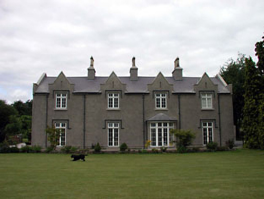 The Glebe Houserectory/glebe/vicarage/curate's house · 1358 yd
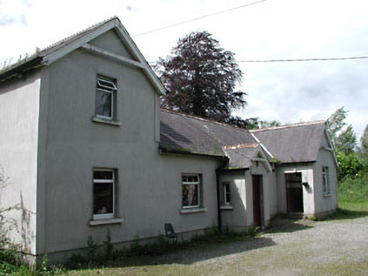 Carnalway National Schoolschool · 1464 yd
 European ashEuropean ash · 1705 yd
 1798 memorial stoneMonument · 1.8 mi
 Glen WoodWood · 1.8 mi
 Harristown CastleCastle, tower house · 1.8 mi
 Site of CastleCastle, unclassified · 2.5 mi
 Newbridge SilverwareMuseum · 3.5 mi
 Councillor Jim MileyMemorial · 7.7 mi
 Grand Canal WayVisitor information · 8.9 mi