What is recorded here
Situated on a N-facing slope in pasture-land amongst some rock outcrop in an upland region. Good views of mountain valley to the N, higher ground to the S. Site consists of a roughly rectangular shaped flat-topped platform (int. diam. 6m N-S; 3.1m E-W) or mound defined by a scarp (H 0.2m) and inner fosse (Wth 1m; ext. D 0.25m) with outer bank (top Wth. 0.7m; base Wth 1m; ext. H 0.2m). The shape of the central platform is unusual for a ring-barrow, which may cast doubts about its classification. The shape of the platfrom is more like ahut site but there is no eNtrance feature and there is an internal fosse. According to local folklore from the Schools Manuscript there was a legend that there was a grave of three kings in this townland. This folklore may have been associated with this monument.
Compiled by: Caimin O'Brien.
Date of upload: 22 September 2008
A Neolithic ring-barrow; dates to the early to middle Neolithic period (c. 4000–3000 BCE). It represents a rare and significant form of funerary monument, often associated with elite burials or high-status individuals.
The monument record does not grant public access. Check the route and ask the landowner before entering private land.
- What survives
- Recorded monument
Places near here
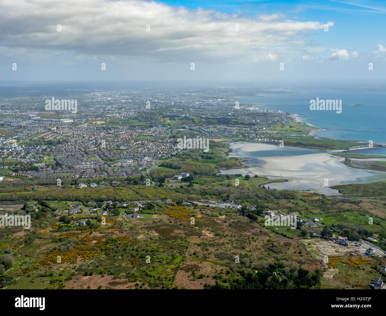 Enclosure in Rusheen MoreEnclosure · 488 yd
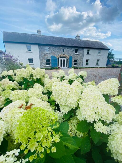 Fulacht fia in GortnahallaFulacht fia · 1726 yd
 CastleCastle, ringwork · 1.1 mi
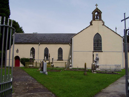 Ileigh Catholic Churchchurch/chapel · 1.3 mi
 Saint Patrick's National Schoolschool · 1.7 mi
 Moher HillMountain / peak · 1.7 mi
 Castle (in Ruins)Bawn · 1.8 mi
 Pallas HillMountain / peak · 3.0 mi
 Kilvilcorris BogForest · 4.8 mi
 Killavalla WoodForest · 5.4 mi
 Silvermines ViewpointViewpoint · 9.9 mi
 Our Lady Assumed into HeavenMemorial · 11 mi