What is recorded here
In tillage, on gentle SE-facing slope. Circular area (16m E-W) enclosed by wide, shallow fosse (Wth 15m; D 0.5m) with external bank (H 0.3m). Gap to S and WSW, latter possibly ancient. Regularly ploughed.
From the National Monuments Service (Archaeological Survey of Ireland) record CO034-031002
The monument record does not grant public access. Check the route and ask the landowner before entering private land.
- What survives
- Recorded monument
Places near here
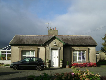 ConvamoreGate lodge · 457 yd
 ConvamoreDemesne walls/gates/railings · 473 ydIcehouse806 ydBlackwater (Avondhu) WayWalking route · 1070 ydPriest's WoodForest · 1645 ydJohnson's WoodForest · 1.3 mi
 Ballyhooly CastleCastle · 1.4 miKnocknaskagh North TopMountain / peak · 1.9 miLiam BurkeMemorial · 2.6 miSeefinMountain / peak · 3.4 mi
 Glanworth CastleCastle · 4.4 mi
 LabbacalleeWedge tomb · 4.6 mi
Pictures: National Inventory of Architectural Heritage; Jonathan Thacker, Geograph · CC BY-SA 2.0; The Speckled Bird, Wikimedia Commons · CC BY-SA 4.0; VisionsofthePast, Wikimedia Commons · CC BY-SA 4.0
More archaeology and monuments in County Cork · All of County Cork
What do you know about this place?