What is recorded here
In wet pasture on the floodplains of the Camoge River that forms townland boundary with Ballycahill. A group of eleven barrows (LI040-026002-; 026004-/026013-) and an enclosure (LI040-026003-) lie to the W. Large impressive and well preserved bivallate barrow (overall diam. 107m) depicted on the 1897 ed. OSi 25-inch map as a circular-shaped platform (diam. c. 26m) defined by a scarp and wide waterlogged fosse, and wide bank with berm and gap at E, with fosse both of which are transected at E by a post-1700 field boundary running roughly N-S. Remains of a second outer bank are visible from S-W only. The impressive monument is visible on oblique aerial photographs (CUCAP AVT026; AYO038) taken 20/07/1968 and 10/07/1969 and on Archaeological Survey of Ireland aerial images (ASIAP (347) 21) taken 05/01/2003. Well preserved barrow visible on Digital Globe orthophotograph taken 2011-13 and on Google Earth orthoimages.
See attached CUCAP, ASIAP aerial photographs and Google Earth orthoimages.
Compiled by: Fiona Rooney
Date of upload: 14 May 2021
Ring-barrow, likely dating to the Early Bronze Age (c. 2000–1500 BCE). It is part of a significant barrow group, indicating a ceremonial or funerary landscape associated with early agrarian communities in the region.
The monument record does not grant public access. Check the route and ask the landowner before entering private land.
- What survives
- Recorded monument
Places near here
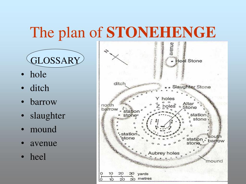 BarrowBarrow, ditch barrow · 153 yd
 Promontory fortPromontory fort, inland · 155 yd
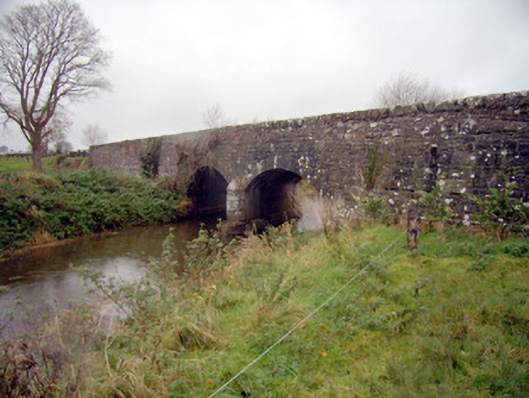 bridgebridge · 1104 yd
 Ballycahill Bridgebridge · 1107 yd
 Flat cemetery in Knockainy WestFlat cemetery · 1444 yd
 Desmond Castle (in ruins)Castle, unclassified · 1.0 mi
 Knockainy Castle (in ruins)Castle, tower house · 1.1 mi
 KnockainyMountain / peak · 1.6 mi
 St Patrick's WellSpring · 2.9 mi
 Edmund's WellSpring · 4.0 mi
 Kilteely HillMountain / peak · 4.6 mi
 Carn (site of)Cairn, burial cairn · 4.9 mi