What is recorded here
On flat wet pasture 95m SSE of townland boundary with Rockbarton and Grange, 1.5km WNW of Lough Gur. The ring-barrow (LI031-177002-) is one of nine ring-barrows with an enclosure (LI031-076001/8- and LI031-177001-) in a ring-barrow cemetery within a 200m radius. The ring-barrow is not depicted on historic OSi maps. It is visible on OSi orthoimages taken 2005-12 but is not visible on the Digital Globe orthoimages taken 2011-2013. Identified by Bruff aerial photographic survey in 1986 (Bruff 35.02: AP 4/3644) as an oval ring-barrow (ext. dims. c. 10m N-S; 7m E-W). The ring-barrow is faintly visible on the Google Earth orthoimage taken 05/04/2006 but not of the most recent Google Earth orthoimage taken 20/09/2020.
See attached Bruff survey image showing the site labelled Bruff 35.02 and Google Earth orthoimages
Compiled by: Edmond O’Donovan
Date of upload: 22 October 2020
A Bronze Age ring-barrow; part of a group of nine ring-barrows with enclosures, indicating a significant funerary and ritual landscape associated with early metalworking communities in the region.
The monument record does not grant public access. Check the route and ask the landowner before entering private land.
- What survives
- Recorded monument
Places near here
 BarrowBarrow, ring-barrow · 161 yd
 Field system in KilcullaneField system · 264 yd
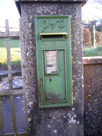 post boxpost box · 656 yd
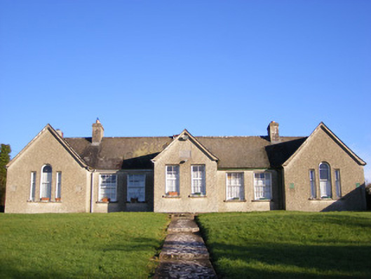 Grange National Schoolsschool · 698 yd
 Bawn in Grange (smallcounty By.)Bawn · 1169 yd
 Lough GurVisitor information · 1548 yd
 Grange Stone CircleArchaeological place · 1603 yd
 Garret IslandCastle, unclassified · 1.1 mi
 The SpectaclesVisitor information · 1.5 mi
 Pedunculate OakPedunculate Oak · 1.5 mi
 Lough Gur Heritage CentreVisitor information · 1.6 mi
 Banoge's WellSpring · 1.9 mi