
What is recorded here
From the National Monuments Service (Archaeological Survey of Ireland) record LI033-166
Places near here
Photo credits
- National Inventory of Architectural Heritage
- Antony Dixon, Wikimedia Commons · CC BY-SA 2.0
- EamonnPKeane, Wikimedia Commons · CC0
- Maker not stated on source page, evoke.ie
- Maker not stated on source page, en.wikipedia.org
- Maker not stated on source page, www.dreamstime.com
- Knockane GAA Club website; individual photographer not stated, www.knockane.com
- No machine-readable author provided. Christian1965~commonswiki assumed (based on copyright claims)., Wikimedia Commons · Public domain
- Kmcnamee, Wikimedia Commons · CC BY-SA 4.0
 kiln388 yd
Explorer Tom Kiln in Newtown has a long-standing grudge against the local weather. It’s an old lime burner, still standing there…
 Newtown HouseCountry house · 593 yd
Explorer Tom Newtown House has rabbits in its garden who think it's their personal castle. It quotes Psalm 127 on its stone, which…
 Sarsfields RockBattlefield · 1632 yd
Explorer Tom Sarsfields Rock in County Limerick is feuding with the next village over who invented the best pie. The 1690…
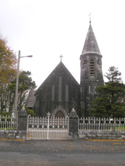 Saint Brigid's Catholic ChurchChurch/chapel · 1683 yd
Explorer Tom Saint Brigid's Catholic Church has an octagonal spire and polychrome roof. Its retirement plan involves sitting quietly…
 Standing stone in Longstone (cullen Par.)Standing stone · 1729 yd
Explorer Tom Standing stone in Longstone is proud of being solidly set with no packing stones visible whatsoever. It tapers to a…
 Fairy fort / earthen ringfort in Ballyneety SouthFairy fort / earthen ringfort · 1.2 mi
Explorer Tom Fairy fort / earthen ringfort in Ballyneety South hosted a love story that ended badly. The heartbroken party threw…
 Earthwork in DerkEarthwork · 1.6 mi
Explorer Tom Earthwork in Derk has appointed a very serious dog as its manager. It sits right in the middle of fourteen barrows like…
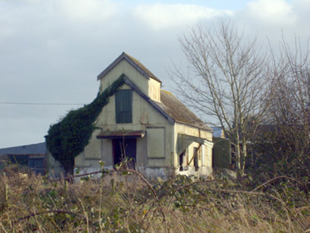 Race CreameryCreamery · 2.3 mi
Explorer Tom Race Creamery holds a long grudge against the weather for making milk sour before delivery. It’s a corrugated-iron…
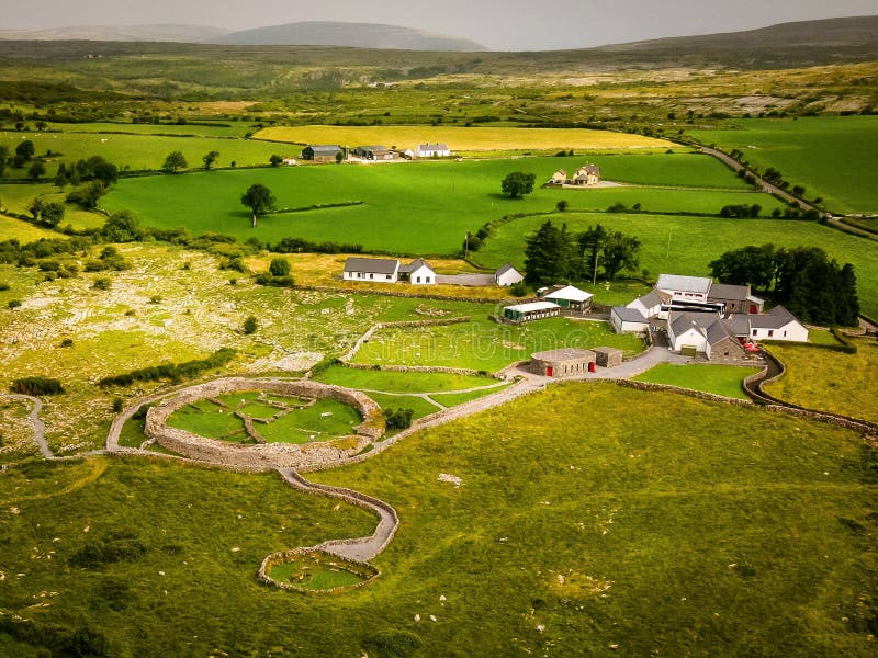 Enclosure in KilleennagalliveEnclosure · 2.3 mi
Explorer Tom Enclosure in Killeennagallive ended up in the wrong place because the mapmaker had a bad day and misplaced the whole…
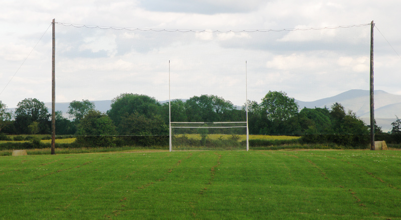 Knockainey GAA pitchGAA ground · 8.7 mi
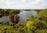 Áine and Gearóid Iarla: Lough GurLegend location · 9.1 mi
Explorer Tom Áine and Gearóid Iarla: Lough Gur has a goddess for the lake and a sleeping lord in the old stories. I thought I was…
 Bruff GAA pitchGAA ground · 10 mi
More archaeology and monuments in County Limerick · All of County Limerick

What do you know about this place?Tap to add a comment or ask a question