What is recorded here
Ring-barrow situated on the upper slope of a proposed development site with views of Bray Head to the E, Sugar Loaf Mountain to the SE, and Djouce mountain to the S. The public road located 70m to N marks the townland boundary with Parknasilloge. Unclassified megalithic tomb (WI007-021----) 370m to NNE, motte castle (WI007-018001-) 300m to SSW, St. Moling's holy well (WI007-016----) 550m to W.
A detailed gradiometer survey was conducted by J. M. Leigh Surveys Ltd. under licence No. 18R0026 in the townland of Powerscourt Demesne, which identified a possible triple-ditched barrow (approx. overall diam. 25m). The site consists of a small circular area (approx. diam. 8m) enclosed by three widely spaced circular ditches. The outer circular ditch has a diameter of 25m, the middle ditch 16m and the inner ditch 8m (Leigh 2018, 4). Archaeological test trenching was undertaken by Irish Archaeological Consultancy Ltd. on behalf of Lota View Holdings Limited, under licence No. 18E0045 in order to archaeologically assess the results of the geophysical survey. The test trenching confirmed the presence of a probable barrow (c. 25m diameter), with three enclosing ditches. No evidence of a burial or cremated remains was identified during the test trenching (Lynch and Kavanagh 2018, i). The south‐western part of the barrow appears to have been removed by agricultural ploughing. Two of the three ditches were identified on the north‐eastern side of the site, although the outer ditch was sealed by a spread of archaeological material. The inner ditch was found to have a depth of 0.34m, which suggests that the entire monument has been subject to some truncation due to ploughing. A number of lithics were recovered during testing, including a quartz core, several individual pieces of quartz and a piece of flint debitage. The items were all recovered from the archaeological spread (C7) and the fill of one of the barrow ditches (ibid., 7).
Compiled by: Caimin O'Brien
Date of upload: 14 May 2018
Ring-barrow, likely dating to the Early Bronze Age (c. 2000–1500 BCE). This type of burial monument typically contains a central cist or burial chamber and is significant as a marker of early funerary practices and social organisation in the region.
The monument record does not grant public access. Check the route and ask the landowner before entering private land.
- What survives
- Recorded monument
Places near here
 Enclosure in ParknasillogeEnclosure · 223 yd
 IndicatedCastle, motte · 355 yd
 St. Molings WellHoly well · 603 yd
 Church (in ruins)Church · 871 yd
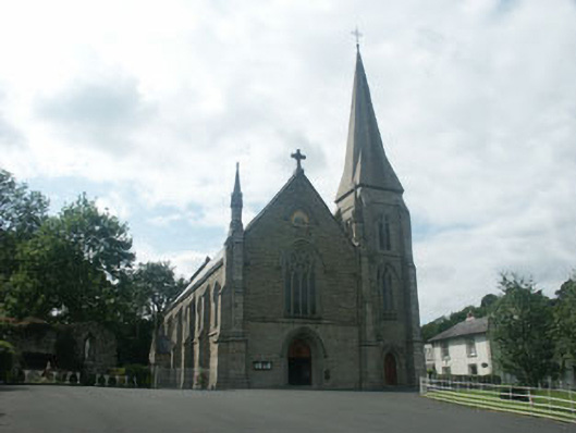 Saint Mary's Catholic ChurchOfficially recorded historic building · 921 yd
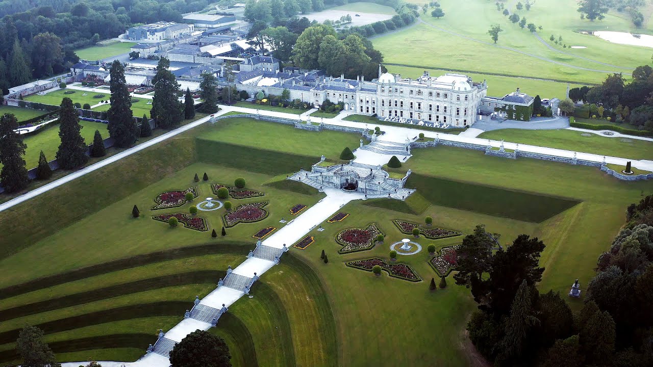
 Powerscourt EstateHeritage attraction · 940 yd
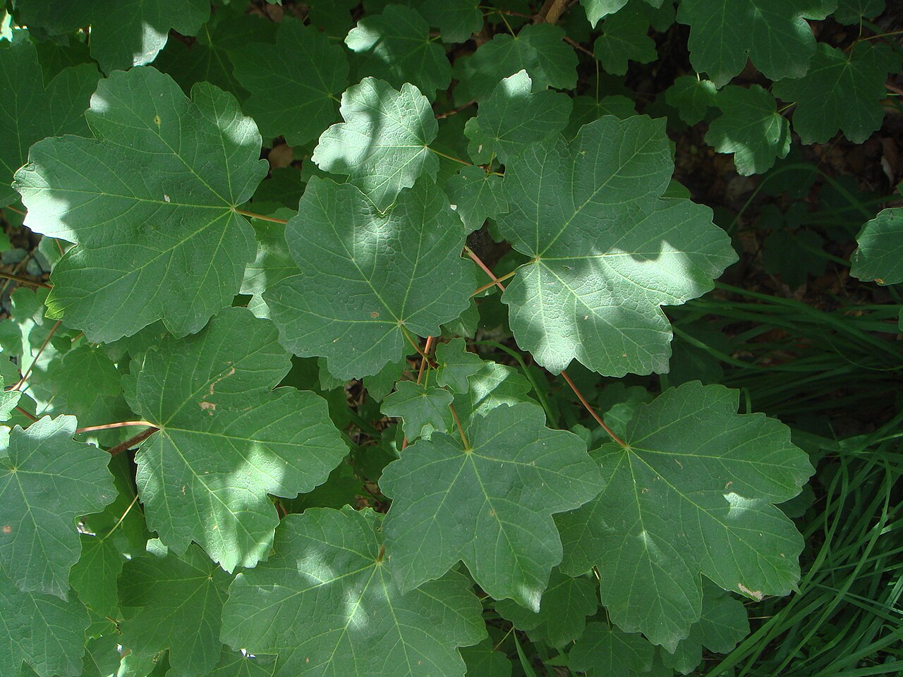 Italian mapleItalian maple · 948 yd
 Sweet ChestnutSweet Chestnut · 992 yd
 Lover's LeapNamed rock · 1.5 mi
 Graveyard in BallymanGraveyard · 1.7 mi
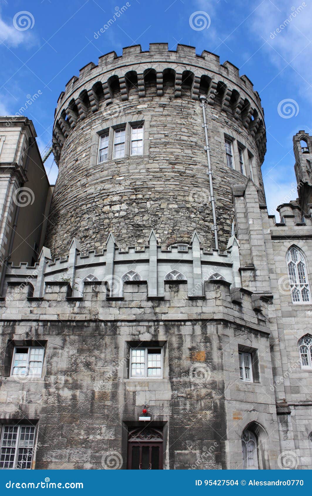 CastleCastle, tower house · 1.8 mi
 Barnaslingan HillMountain / peak · 1.8 mi