
What is recorded here
From the National Monuments Service (Archaeological Survey of Ireland) record RO051-022
Places near here
Photo credits
- Maker not stated on source page, www.roscommonherald.ie
- Maker not stated on source page, en.wikipedia.org
- Maker not stated on source page, www.thejournal.ie
- Maker not stated on source page, heritageireland.ie
- Maker not stated on source page, commons.wikimedia.org
- Maker not stated on source page, wanderaroundireland.com
- Maker not stated on source page, uk.pinterest.com
- Maker not stated on source page, www.geograph.ie
- Brian Lawless / Sportsfile, as credited in the Ulster GAA caption, ulster.gaa.ie
 CastleCastle, unclassified · 869 yd
Explorer Tom Castle in Onagh makes a strange humming sound at night that locals swear is actually just the wind getting stuck in the…
 Church in OnaghChurch · 869 yd
Explorer Tom Church in Onagh has a long-standing grudge against the weather, claiming it always shows up when it's having a bad day.…
 Fairy fort / earthen ringfort in TobermacloughlinFairy fort / earthen ringfort · 1356 yd
Explorer Tom Earthen ringfort in Tobermacloughlin took the shortcut and ended up bisected by a field wall, which is very efficient.…
 Fairy fort / ringfort in Lugboy (athlone South By.)Fairy fort / ringfort · 1437 yd
Explorer Tom Fairy fort / ringfort in Lugboy is polygonal because the map makers couldn't decide what shape to give it. It’s…
Fairy fort / stone ringfort in TobermacloughlinFairy fort / stone ringfort · 1.4 miExplorer Tom Stone ringfort in Tobermacloughlin has a long grudge against the weather because it keeps overgrowing it. The stone…
 Dundonnell CastleHouse, 16th/17th century · 1.6 mi
Explorer Tom Dundonnell Castle has a secret talent for holding grudges, sitting in a ringwork like it’s waiting for the McKeoghs to…
 Fairy fort / stone ringfort in Lugboy (athlone South By.)Fairy fort / stone ringfort · 1.6 mi
Explorer Tom Fairy fort / stone ringfort in Lugboy hosted a fake royal visit that nobody can disprove. It’s D-shaped with straight…
 Earthwork in SkeavallyEarthwork · 1.7 mi
Explorer Tom Earthwork in Skeavally does all sorts when nobody's looking, probably rearranging its own stone facing just to see if…
 Cloonbigny CastleHouse, 16th/17th century · 1.9 mi
Explorer Tom Cloonbigny Castle thinks it’s the star of the show, but it’s really just a guy built on top of another guy’s leftovers.…
 Church (in Ruins)Church · 2.0 mi
Explorer Tom Church in Taghmaconnell was visited by a fiddler who played all night until the saints woke up angry. They chased him…
 Graveyard in AshfordGraveyard · 5.9 mi
Explorer Tom Graveyard in Ashford smells like wet wool, old regret, and a hint of burnt toast to me. It’s got that distinct aroma of…
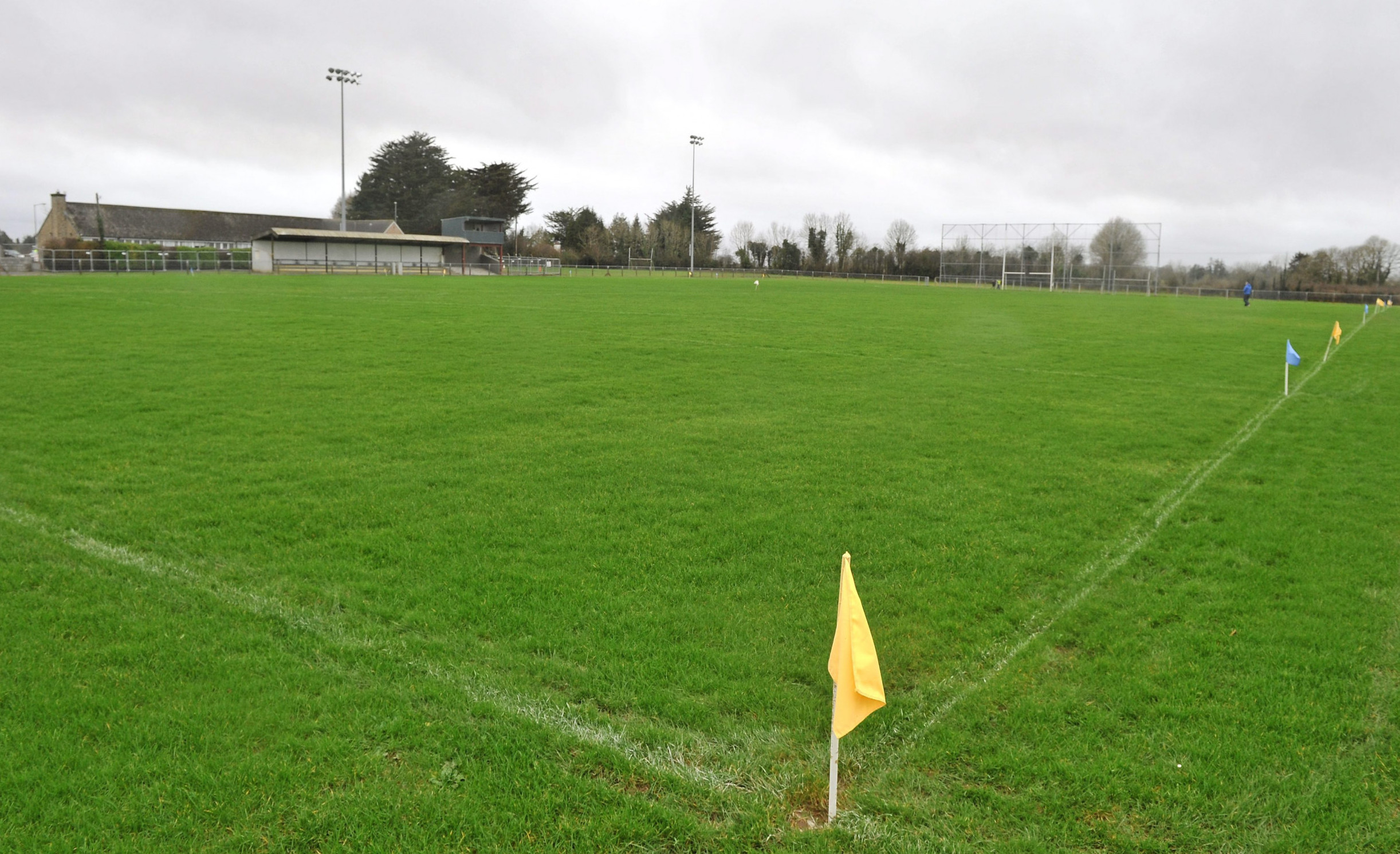 Páirc Naomh Aodain, St. Aidan's GAA, BallyforanGAA ground · 6.2 mi
More archaeology and monuments in County Roscommon · All of County Roscommon

What do you know about this place?Tap to add a comment or ask a question