What is recorded here
Situated in level pasture at the bottom of a N-facing slope, overlooking Oakport Lough to the E. It was first identified by Susan Curran as part of an M.A. thesis with University College Dublin using a LiDAR survey dataset commissioned by Leitrim County Council and the National Roads Authority. This is an oval area (dims 30m N-S; 24m E-W) defined by a low bank (at N: Wth 7.1m; int. H 0.3m; ext. H 0.25m) with slight traces of an internal fosse (at N: Wth of top 5.2m; Wth of base 1.8m; D 0.2m) that is best preserved SSE-W-NE. The perimeter at E is disturbed by a small oval, grass-covered quarry (dims c. 4m N-S; c. 3.2m E-W; D 0.3m) and associated up-cast.
Compiled by: Michael Moore
Date of upload: 11 May, 2015
A Neolithic ring-barrow; significant as an early identified burial monument through LiDAR survey in the region.
The monument record does not grant public access. Check the route and ask the landowner before entering private land.
- What survives
- Recorded monument
Places near here
 indicatedFairy fort / earthen ringfort · 892 yd
 Cootehall Bridgebridge · 1216 yd
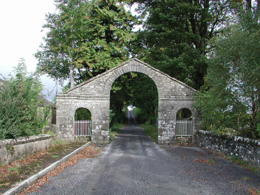 The Bawndemesne walls/gates/railings · 1295 yd
 Kiltidean Church and Burial Ground (Site of)Church · 1400 yd
 Hughestown WoodForest · 1.6 mi
 Longford HillMountain / peak · 1.9 mi
 Errironagh WoodForest · 1.9 mi
 Lahan IslandIslet · 2.6 mi
 Lough Key Forest ParkWood · 2.7 mi
 Swallow IslandIslet · 2.7 mi
 Erris BayBay · 3.3 mi
 Moylung Castle (in ruins)Castle, unclassified · 3.8 mi