What is recorded here
Circular area (diam. 10m) enclosed by low earthen bank in low lying partially drained field immediately S of Noughaval graveyard (WM016-012001-) boundary wall. Outline of earthwork clearly visible on OSI 2005 aerial photographs. Possibly represents the remains of a ring-barrow. A low linear earthwork in field to E of graveyard may represent the remains of an old trackway running from the graveyard towards Noughaval House to the E which is clearly visible on Bing Maps aerial photographs.
Compiled by: Caimin O'Brien
Date of upload: 2 October 2014
Ring-barrow, likely dating to the Early Bronze Age. Its location near a modern graveyard suggests continuity of sacred or significant landscape use over millennia.
The monument record does not grant public access. Check the route and ask the landowner before entering private land.
- What survives
- Recorded monument
Places near here
 Ecclesiastical enclosure in NoughavalEcclesiastical enclosure · 44 yd
 Noughaval CemeteryArchaeological place · 61 yd
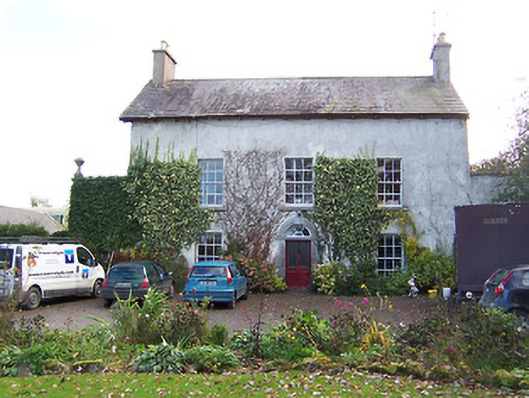 Noughaval Househouse · 135 yd
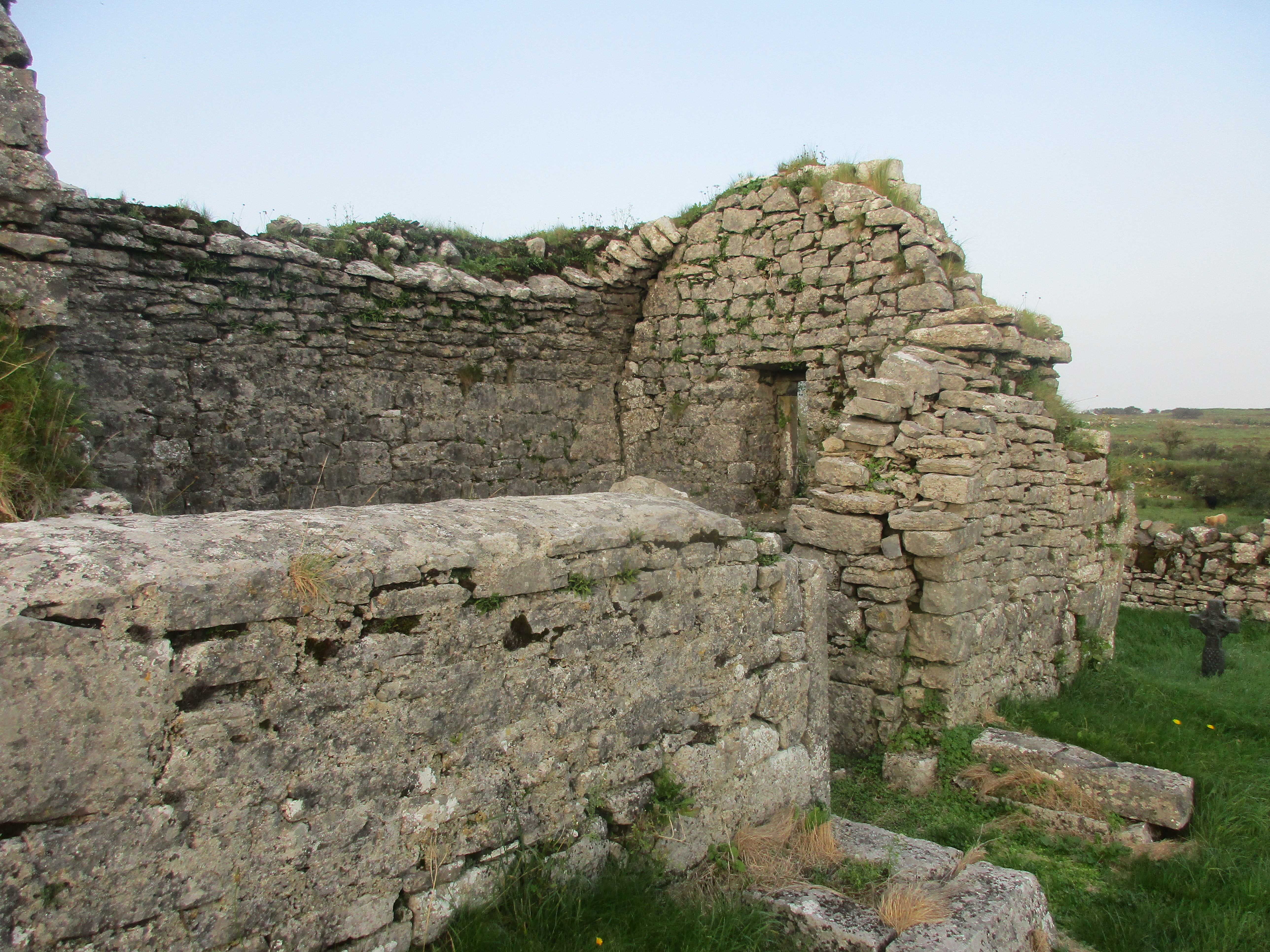 Partially hachuredFairy fort / earthen ringfort · 670 yd
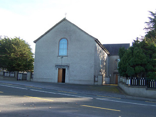 Catholic Church of the Immaculate Conceptionchurch/chapel · 1232 yd
 European BeechEuropean Beech · 1.5 mi
 CastleCastle, motte and bailey · 1.7 mi
 Bawn in Cannorstown (hogan)Bawn · 2.3 mi
 Target WoodWood · 3.6 mi
 Guest ServicesVisitor information · 3.7 mi
 Newcastle WoodsForest · 3.8 mi
 Craft WorkshopHeritage attraction · 3.8 mi