What is recorded here
Barrow is a vanished ring-barrow on a SW-facing slope in County Longford, Ireland. It appeared as a circular enclosure on the 1837 map, became a site of memory by 1883, and was later levelled until only a faint twenty-eight-metre outline remains in the pasture. The land has taken back the shape of the place, leaving behind a quiet circle that invites imagination rather than certainty.
On a SW-facing slope in pasture. Depicted as a circular enclosure with the designation 'Fort' on the 1837 ed. of the OS 6-inch map and 'Site of' on the 1883 revised edition. A report in 1987 (SMR file) described it as a ring-barrow. It has since been levelled but the outline of its perimeter, defining a circular area (diam. c. 28.5m), is still identifiable.
Compiled by: Patrick F. O'Donovan
Date of upload: 26 August 2011
A ring-barrow, likely dating to the Early Bronze Age. Its original form and wider significance are obscured by later misinterpretation as a 'fort' on historical maps.
The monument record does not grant public access. Check the route and ask the landowner before entering private land.
- What survives
- Recorded monument
Places near here
 IndicatedFairy fort / earthen ringfort · 755 yd
 Bawn in BallyknockBawn · 762 yd
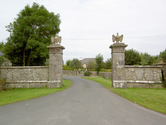 Mosstown Housegates/railings/walls · 872 yd
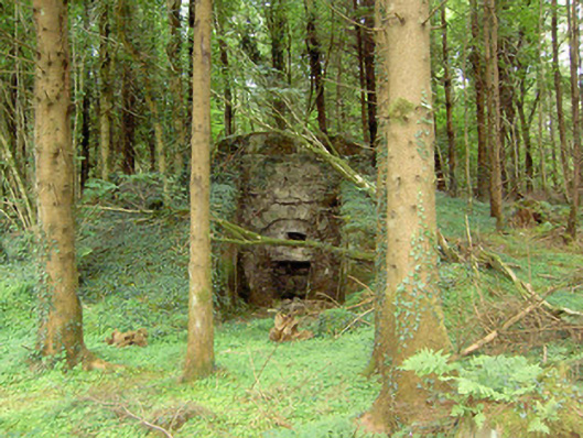 kilnkiln · 895 yd
 Burial ground in AghnashinganBurial ground · 959 yd
 CastleCastle, unclassified · 1186 yd
 Corlea Bog Walk Canal BranchWalking route · 1.7 mi
 Corlea Bog Walk Blue LoopWalking route · 1.7 mi
 Corlea Trackway Interpretative CentreHeritage attraction · 1.8 mi
 Graveyard in Curry (ardagh By., Coolamber Ed)Graveyard · 3.8 mi
 Leveret IslandIslet · 7.0 mi
 White Sand WoodWood · 7.2 mi