What is recorded here
In pasture, on a gentle SE-facing slope, c. 3m to S of ring-barrow (TS066-101001-). Identified during field survey by Alison McQueen and Vera Rahilly (25 November 2008). An oval area (dims. 22m NW-SE; 18m NE-SW) bisected by an estate ditch and retaining wall running NW-SE off-centre to the SW. The interior is defined by a shallow waterlogged fosse (basal Wth 2.5m; overall Wth 5.25m; D 0.1m) all around except where truncated by a ditch. There are two mature trees within the monument on the SW side of the field boundary. The monument SW of the field boundary is not visible at ground level where it appears to have been transected by a shallow drain (basal Wth 4.4m; overall Wth 7.85m; D 0.25m) running NW-SE.
Compiled by: Jean Farrelly
Date of revised upload: 9 September 2014
A ring-barrow, likely dating to the Early Bronze Age (c. 2000–1500 BCE), commonly used as a single burial monument. Its presence indicates early ceremonial or funerary activity in the Mooresfort area.
The monument record does not grant public access. Check the route and ask the landowner before entering private land.
- What survives
- Recorded monument
Places near here
 Mooresfort Housecountry house · 195 yd
 Enclosure in MooresfortEnclosure · 1360 yd
 Enclosure in Lattin WestEnclosure · 1452 yd
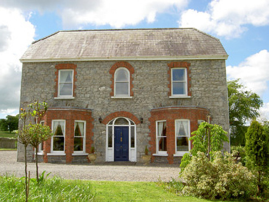 Saint Joseph'shouse · 1535 yd
 CastleCastle, ringwork · 1706 yd
 MoatCastle, motte · 2.1 mi
 Carn (site of)Cairn, burial cairn · 2.6 mi
 SlievenamuckMountain / peak · 2.9 mi
 Darby's Bed Walk LoopWalking route · 3.5 mi
 Duntryleague HillMountain / peak · 3.5 mi
 Bansha ForestForest · 3.9 mi
 Saint Patrick's WellSpring · 5.0 mi