What is recorded here
In pasture, on S-facing slope. Hachured on 1842 OS 6-inch map as circular enclosure (diam. c. 15m). Roughly circular area (diam. 9.7m) enclosed by shallow fosse (D 0.26m).
The above description is derived from the published 'Archaeological Inventory of County Cork. Volume 4: North Cork' (Dublin: Stationery Office, 2000). In certain instances the entries have been revised and updated in the light of recent research.
Date of upload/revision: 14 January 2009
Ring-barrow, likely dating to the Early Bronze Age. Its construction and location suggest a funerary monument of local significance, though specific historical or cultural associations remain unrecorded.
The monument record does not grant public access. Check the route and ask the landowner before entering private land.
- What survives
- Recorded monument
Places near here
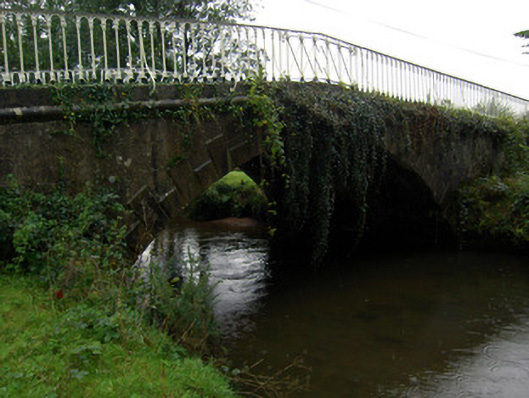 bridgebridge · 413 yd
 Sundays WellHoly well · 569 yd
 Ballaghaderg Bridgebridge · 788 yd
 Burnt mound in MitchelstownBurnt mound · 1252 yd
 White Knights Tower (Site of)Castle, unclassified · 1522 yd
 John MandevilleMemorial · 1.4 mi
 Mitchelstown Town MapVisitor information · 1.4 mi
 Statue of Saint FanahanMemorial · 1.5 mi
 Carriganoura Castle (in Ruins)Castle, tower house · 1.7 mi
 Ballyarthur HillMountain / peak · 2.2 mi
 Combaun WoodsViewpoint · 3.7 mi
 FlagCave · 4.2 mi