What is recorded here
Situated on a slight rise on a shelf, which is on the SE-facing slope of a small hill. This is a circular mound (diam. of top 10.3m NE-SW; diam. of base 13.3m NE-SW; H 0.7m) defined by a fosse (Wth of top 4-5m; Wth of base 1-1.5m; ext. D 0.8-0.9m) and an outer earthen bank (Wth of base 3-6m; ext. H 0.6-0.7m) There is an entrance (Wth of base 4.2m) and causeway (Wth of top 1.7m; H 0.4m) at E. The outer bank is incorporated in a NE-SW field bank at SE.
The above description is derived from the published 'Archaeological Inventory of County Meath' (Dublin: Stationery Office, 1987). In certain instances the entries have been revised and updated in the light of recent research.
Compiled by: Michael Moore
Date of revision: 10 January 2019
A ring-barrow, likely dating to the Early Bronze Age, associated with burial practices of the period; its construction reflects the use of a fosse and circular mound typical of this type of funerary monument.
The monument record does not grant public access. Check the route and ask the landowner before entering private land.
- What survives
- Recorded monument
Places near here
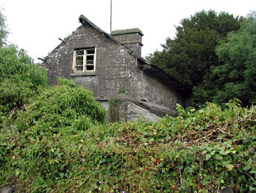 Loughcrew Housegate lodge · 793 yd
 Enclosure in KnockloughEnclosure · 894 yd
 Slieve GullionMountain / peak · 934 yd
 The Big DounArchaeological place · 1306 yd
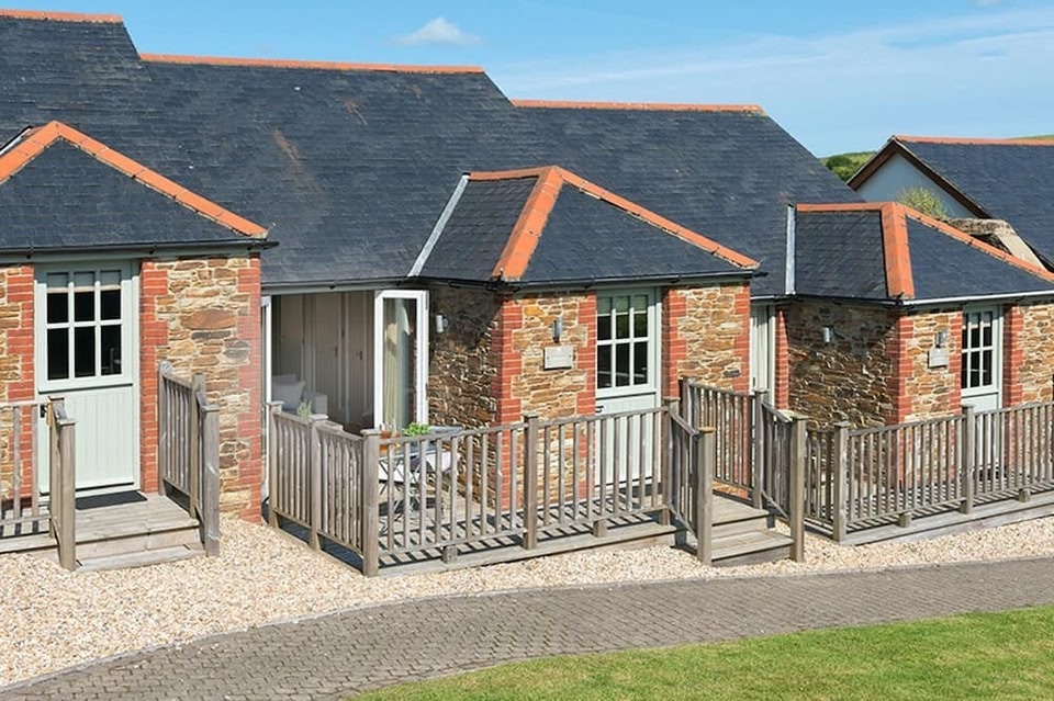 Keeper's CottageRuins · 1.1 mi
 The Keeper's FieldForest · 1.2 mi
 Green CastleCastle, unclassified · 1.4 mi
 Kells HillMountain / peak · 1.5 mi
 Moat of DiamorCastle, motte and bailey · 1.7 mi
 Bradley's WoodWood · 1.8 mi
 Zip WireHeritage attraction · 1.9 mi
 Enclosure in LoughcrewEnclosure · 1465 yd