What is recorded here
Identified from aerial photographs on Bing Maps (www.bing.com/maps/) and Google Earth as a possible grouping of three conjoined ringbarrow.
Compiled by: Denis Power
Date of upload: 20 June 2013
A Neolithic ring-barrow; part of a possible grouping of three conjoined ring-barrow. Its significance lies in its potential to contribute to understanding of Neolithic burial practices and landscape use in the region.
The monument record does not grant public access. Check the route and ask the landowner before entering private land.
- What survives
- Recorded monument
Places near here
 Field system in KnockaneaField system · 364 yd
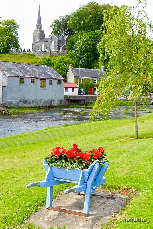 BarrowBarrow, ring-barrow · 542 yd
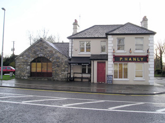 P. Hanlyhouse · 544 yd
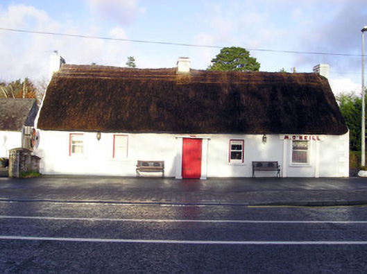 M. O'Neillhouse · 603 yd
 CastleCastle, unclassified · 1033 yd
 TowerCastle, unclassified · 1.1 mi
 St Lawrence's WellSpring · 2.1 mi
 Graveyard in AbingtonGraveyard · 2.4 mi
 Sliev Felim WayVisitor information · 3.9 mi
 KnockseefinMountain / peak · 5.4 mi
 Skool HillMountain / peak · 5.4 mi
 Campus MapVisitor information · 6.2 mi