What is recorded here
Visible as a circular feature on aerial photographs (CUCAP AHN 2-7), and situated towards the top of the S-facing slope of the NE summit of a NE-SW ridge. Circular grass-covered platform (diam. 6.5m; H 0.05-0.1m) defined by a fosse (Wth of top 4.5m) and outer bank (Wth 3.7m; H 0.2m) with a second external fosse (Wth of top 3.5m; D 0.1-0.2m) and a second external bank (Wth 3.3m; H 0.1m), all of which only survive S-W. It is now incorporated into a golfing tee, and the rath (RO006-118004-) is c. 30m to the W while barrow (RO006-118006-) is c. 80m to the E.
Compiled by: Michael Moore
Date of upload: 24 August 2010
The monument record does not grant public access. Check the route and ask the landowner before entering private land.
- What survives
- Recorded monument
Places near here
 IndicatedField system · 842 yd
 Enclosure in BallytrasnaEnclosure · 1108 yd
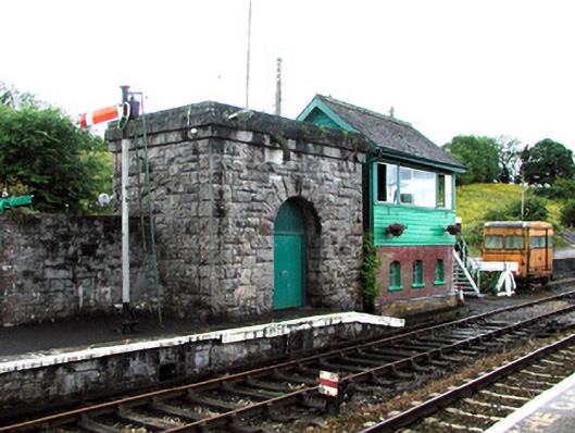 Boyle Railway Stationsignal box · 1.1 mi
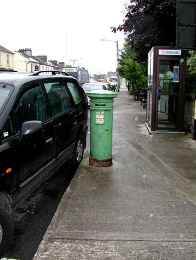 Historic buildingOfficially recorded historic building · 1.2 mi
 King William MemorialMonument · 1.3 mi
 Boyle AbbeyHeritage attraction · 1.4 mi
 Moylung Castle (in ruins)Castle, unclassified · 2.6 mi
 Erris BayBay · 2.6 mi
 Bingham IslandIslet · 2.8 mi
 Lough Key Forest ParkWood · 2.8 mi
 Trinity IslandIslet · 3.0 mi
 Battle of Curlew PassMajor battlefield · 3.1 mi