What is recorded here
In poorly drained recently pasture, 25m SE of large impressive barrow (LI014-034----). Oultine of barrow (overall dims 21m N-S x 17m E-W) consisting of a small circular shaped depression defined by a fosse enclosed by a sub-circular shaped berm and external fosse visible on earlier OSi orthoimages. Cropmark of monument visible on Digital Globe orthoimage taken 2011-13, the internal feature of the monument is not visible on this image. Cropmark of monument barely visible on Google Earth orthoimage taken 28/06/2018. Outline of monument much clearer on Google Earth orthoimage taken 06/02/2018 and on ASI aerial imagery taken 23/08/2000.
See attached Google Earth orthoimages
Compiled by: Fiona Rooney
Date of upload: 7 July 2020
The monument record does not grant public access. Check the route and ask the landowner before entering private land.
- What survives
- Recorded monument
Places near here
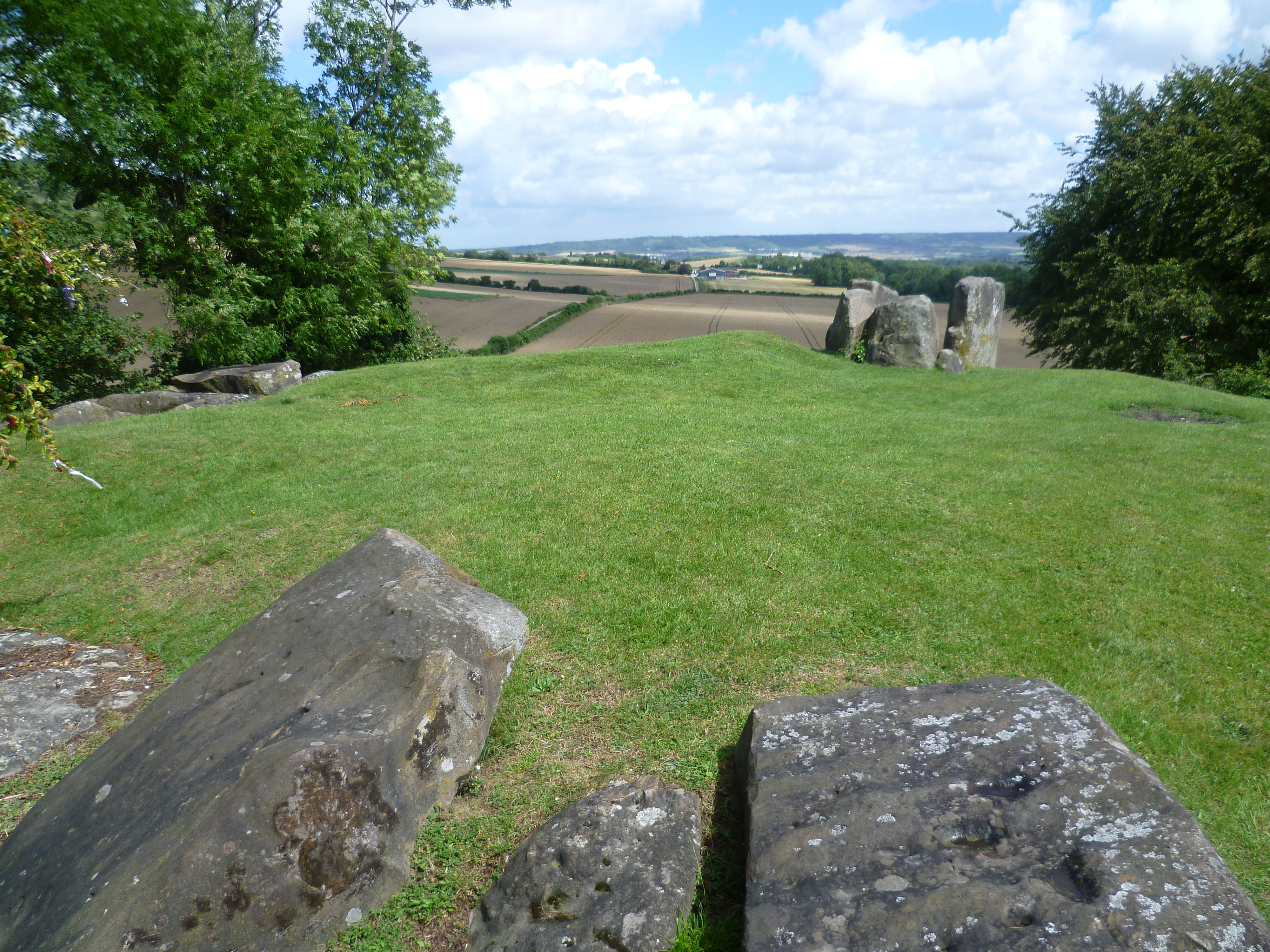 BarrowBarrow, ring-barrow · 278 yd
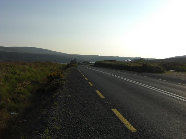 RoadRoad, road/trackway · 398 yd
 Enclosure in CloghnadrominEnclosure · 757 yd
 An Tobarhouse · 797 yd
 Bawn in CarrigarreelyBawn · 1.0 mi
 CastleCastle, unclassified · 1.3 mi
 St Lawrence's WellSpring · 2.0 mi
 Wych ElmWych Elm · 2.1 mi
 Graveyard in AbingtonGraveyard · 3.0 mi
 Sliev Felim WayVisitor information · 4.4 mi
 Campus MapVisitor information · 5.0 mi
 Fountain SculptureHeritage attraction · 5.1 mi