What is recorded here
Situated on poorly drained reclaimed grassland standing on the townland boundary with Jamestown which forms the N enclosing element of the monument. Visible today on Digital Globe photography as a circular-shaped area enclosed by a fosse and outer bank. Profile of monument based on aerial photographic evidence suggests that this may be the remains of a ring-barrow.
Compiled by: Caimin O'Brien
Date of upload: 13 November 2019
A ring-barrow, likely dating to the Early Bronze Age. Its location on a townland boundary suggests a possible ritual or territorial significance.
The monument record does not grant public access. Check the route and ask the landowner before entering private land.
- What survives
- Recorded monument
Places near here
 OutlinedFairy fort / earthen ringfort · 468 yd
 Jamestown Courtfolly · 1070 yd
 bridgebridge · 1268 yd
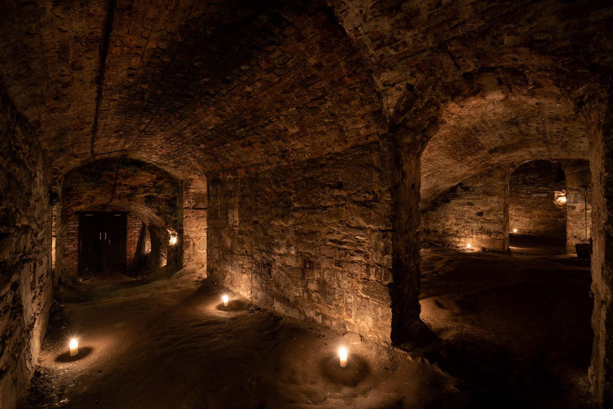 Man-made underground passage in Adamstown (moycashel By.)Man-made underground passage · 1401 yd
 CastleCastle, unclassified · 1750 yd
 Carn CastleCastle · 1.1 mi
 Sam's ParkForest · 2.6 mi
 Hill of UisneachMountain / peak · 2.9 mi
 European ashEuropean ash · 3.0 mi
 KnockastiaMountain / peak · 3.9 mi
 Charles BianconiMemorial · 8.5 mi
 The Bob Traynor GalleryGallery · 8.6 mi