What is recorded here
In pasture, situated at the break of slope on the steep NE-facing slope of a NW-SE ridge. Much degraded, circular area (diam. 9.4m; H 0.6 at SW, 1.4mat NE) defined by a slightly raised rim (Wth c. 1m) which may be a levelled bank. The internal area is saucer-shaped in profile. A larger enclosure (SL012-005002-) lies 19m to NE.
Compiled by: Patrick F. O'Donovan
Date of upload: 19 January 2011
The monument record does not grant public access. Check the route and ask the landowner before entering private land.
- What survives
- Recorded monument
Places near here
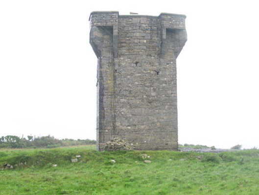 Carrownrush Towersignal tower · 396 yd
 Enclosure in Carrownrush (tireragh By., Easky East Ed),carrowmablyEnclosure · 432 yd
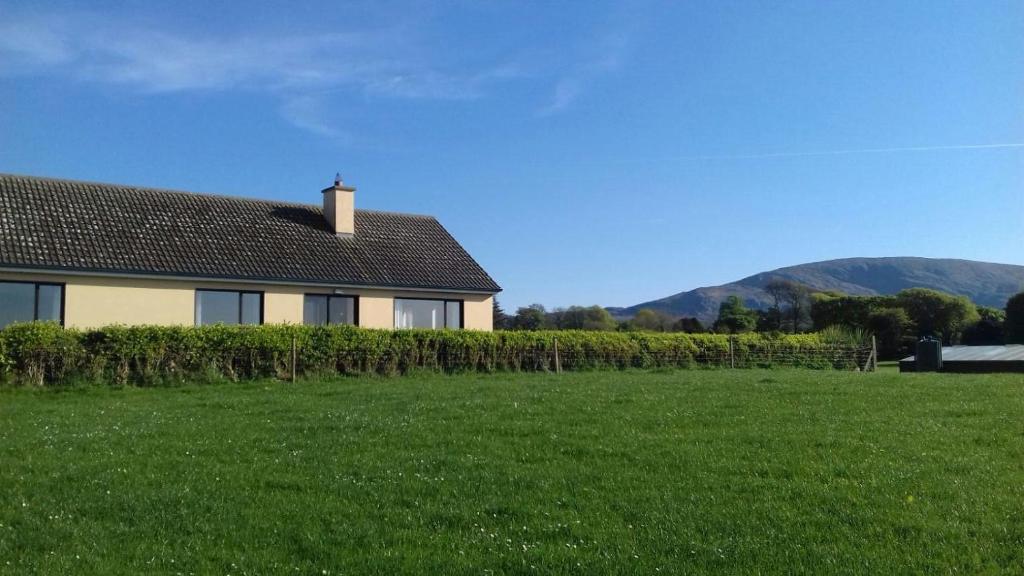 Hut site in Aughris (tireragh By.)Hut site · 461 yd
 Glenburn Househouse · 1305 yd
 Site of Dunneill CastleCastle, unclassified · 1.0 mi
 DonaghHeadland · 1.2 mi
 Ballynahowna CastleCastle, tower house · 1.7 mi
 Split RockNamed rock · 1.8 mi
 Jim Smith MemorialMemorial · 3.1 mi
 Wild Atlantic Way: Easky PierVisitor information · 3.5 mi
 Eamonn's TopMountain / peak · 6.7 mi
 AnnatoranMountain / peak · 7.3 mi