What is recorded here
In poorly drained pasture. Monument identified during ASI fieldwork. A circular area (dims. 4.2m N-S; 4m E-W) defined by a fosse (Wth 1.45-1.95m; D 0.1-0.15m) and outer bank (Wth 3m; int. H 0.1m; ext. H 0.1m) evident from E-S. The interior is grass covered and level. Small, slightly higher area of ground to NE. Monument is located on a raised, sub-oval area (dims. c. 17m N-S; 14m E-W) defined by a low scarp. A field boundary c. 14m to the NE is densely overgrown with furze (c. 6-8m deep). An enclosure (TS059-059----) is c. 16m to WSW.
Compiled by: Jean Farrelly
Date of upload: 24 October 2013
A Neolithic ring-barrow; significant as a rare example of early funerary architecture in the region.
The monument record does not grant public access. Check the route and ask the landowner before entering private land.
- What survives
- Recorded monument
Places near here
 Enclosure in DrishaneEnclosure · 786 yd
 DunnasgiathChurch · 1092 yd
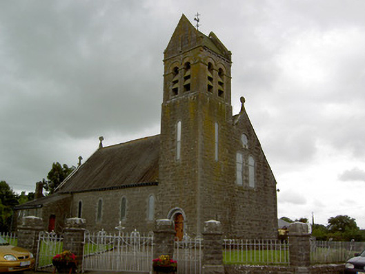 Saint Bridget's Catholic Churchchurch/chapel · 1095 yd
 Site of CastleCastle, unclassified · 1156 yd
 Rathvallygoney FortFairy fort / earthen ringfort · 1342 yd
 Grantstown CastleCastle · 1.2 mi
 Dundrum Woods (Marl Bog)Forest · 2.3 mi
 Maudemount BogWood · 2.4 mi
 Soloheadbeg Ambushambush · 3.8 mi
 Soloheadbeg Ambush SiteMemorial · 4.0 mi
 I.R.A. 3rd. Tipperary Brigade MemorialMemorial · 4.3 mi
 It's a long way to TippereryHeritage attraction · 4.9 mi