What is recorded here
At the S foot of a short but moderately steep, whin-covered slope. Visible on an aerial photograph (DoD, 1999). A small, circular area (diam. 5.5m) is defined by a fairly broad, shallow, wet and heavily poached fosse (Wth 2.1-3.8m; D 0.2-0.3m) and a low, outer earthen bank (Wth 1.9-3.1m; int. H 0.2m; ext. h 0.2-0.6m). The poaching in the fosse results from schooling horses there, and were it not for the presence of an outer bank, this site could be dismissed as a modern 'lunging ring'. It's possible, however, that an existing barrow was reused as a 'lunging ring'. A second, somewhat similar site (KD013-086----) lies 10m to the NE.
Compiled by: Gearóid Conroy
Date of upload: 10 June 2011
A ring-barrow, likely dating to the Early Bronze Age, associated with burial practices in open landscapes. Its location and fosse suggest ritual or territorial significance, though specific details remain unrecorded.
The monument record does not grant public access. Check the route and ask the landowner before entering private land.
- What survives
- Recorded monument
Places near here
 Enclosure in Curragh (ballysax East Ed)Enclosure · 193 yd
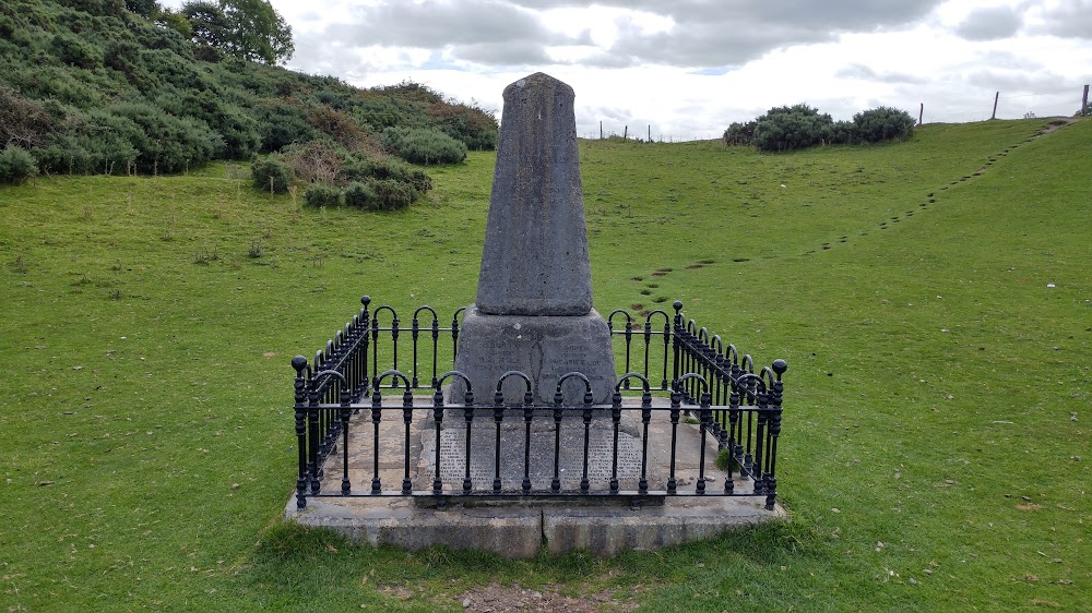 Donnelly's HollowMonument · 578 yd
 Church in BallymanyChurch · 1319 yd
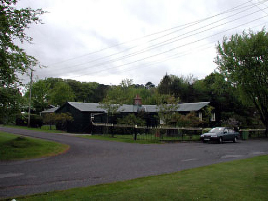 The Chalet ""K""-Linesprison/jail · 1333 yd
 CastleCastle, unclassified · 1.2 mi
 ElderElder · 1.5 mi
 Newbridge SilverwareMuseum · 1.5 mi
 TumulusCastle, motte and bailey · 2.0 mi
 Pollardstown Fen Nature ReserveNature reserve · 3.0 mi
 Saint Fiachra's GardenHeritage attraction · 4.1 mi
 Battle of Kilrushbattle · 6.8 mi
 Grand Canal WayVisitor information · 8.0 mi