What is recorded here
On a knoll on the S edge of The Curragh. Visible on an aerial photograph (DoD 1999). A very poorly preserved, partially whin-covered, circular area (est. diam. 10-12m) is defined by a fosse (Wth 3.3-3.8m; D 0.3m) and by a low, outer, earthen bank (Wth 2.5-3m; H 0.15-0.3m), NW-N-E. There is an entrance gap (Wth 4m) and corresponding causeway (Wth 3.5m) at E. The S and W portions of the monument have been largely quarried out.
Compiled by: Gearóid Conroy
Date of upload: 10 June 2011
A Neolithic ring-barrow; its significance lies in its association with early burial practices and the use of fosse construction in the Irish Neolithic period.
The monument record does not grant public access. Check the route and ask the landowner before entering private land.
- What survives
- Recorded monument
Places near here
 ElderElder · 218 yd
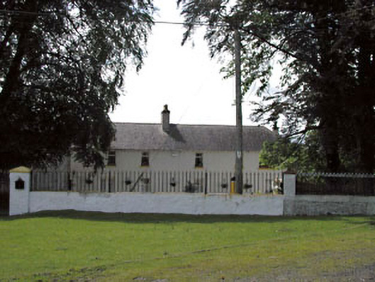 Thornton Lodgestables · 427 yd
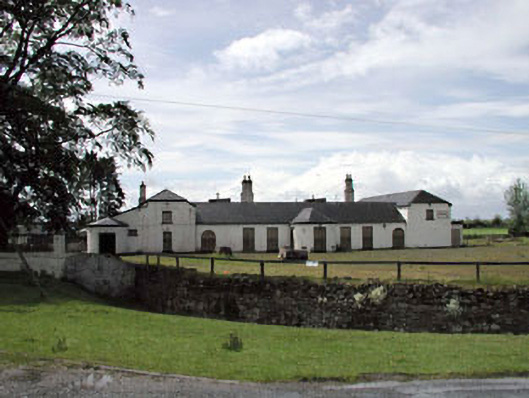 Jockey Hallhouse · 471 yd
 Enclosure in Curragh (ballysax East Ed)Enclosure · 1307 yd
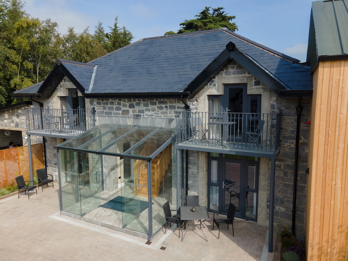 Enclosure in BallysaxhillsEnclosure · 1.1 mi
 CastleCastle, unclassified · 2.2 mi
 Castle in RuinsCastle, tower house · 2.2 mi
 Newbridge SilverwareMuseum · 3.0 mi
 Dawn RedwoodDawn Redwood · 3.9 mi
 Saint Fiachra's GardenHeritage attraction · 3.9 mi
 Battle of Kilrushbattle · 5.4 mi
 History of Moat of ArdscullVisitor information · 8.7 mi