
What is recorded here
In level tillage c. 180m NW of the River Liffey. Named ‘Castle’ and shown on the OS 25-inch map as a roofed rectangular structure (est. L c. 12m ENE-WSW; est. Wth c. 6m) on the S edge of a laneway leading to the river. In 1984, the laneway had been removed and there was no visible surface trace of the monument (SMR file).
Compiled by: Gearóid Conroy
Date of upload: 29 May 2012
The monument record does not grant public access. Check the route and ask the landowner before entering private land.
- What survives
- Recorded monument
Places near here
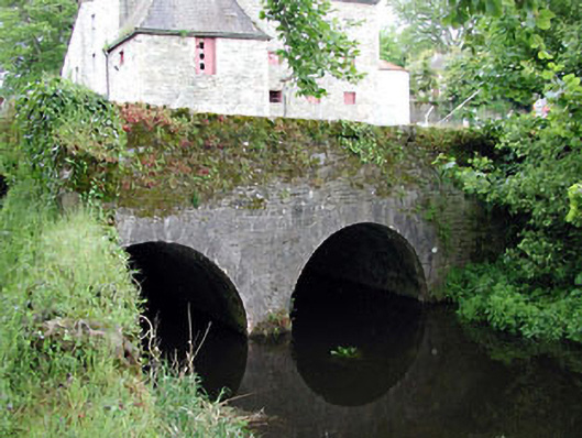 bridgebridge · 763 yd
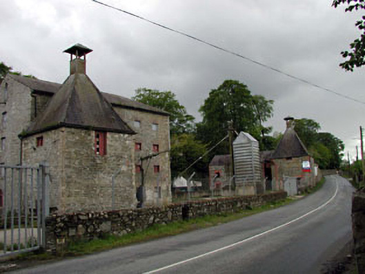 malt housemalt house · 782 yd
 Rosetown RathFairy fort / earthen ringfort · 892 yd
 Enclosure in GreatconnellEnclosure · 1170 yd
 Newbridge SilverwareMuseum · 1.4 mi
 IndicatedCastle, unclassified · 1.4 mi
 ElderElder · 2.2 mi
 1798 memorial stoneMonument · 2.4 mi
 TumulusCastle, motte and bailey · 2.5 mi
 Pollardstown Fen Nature ReserveNature reserve · 3.6 mi
 Hill of AllenMountain / peak · 6.0 mi
 Battle of Kilrushbattle · 7.6 mi
Other information
Photo: Credit not shown in the picture search · Rights wording not checked; contact us if this picture should be removed