What is recorded here
Situated on top of a high steep ridge overlooking Lough Owel to W and Church Island (WM012-167-/001/002/003-) 600m to NW. This ridge is known locally as ‘Captain’s Hill’ and is reputedly the burial site of Turgesius (SMR File). Small oval-shaped mound (dims. 5m E-W x 15m NW-SE) of earth and stone the base of which is defined by a wide shallow fosse visible from N-E and from W-SW only with remains of an earthen counterscarp bank. Small post-medieval gravel/quarry pit cut into WSW face of mound. There was formerly a golf course in this area and some landscaping of the land may have taken place at this time.
Compiled by: Caimin O’Brien
Date of upload: 20 July 2015
A Neolithic ring-barrow; significant as a possible burial site linked to the legendary figure Turgesius.
The monument record does not grant public access. Check the route and ask the landowner before entering private land.
- What survives
- Recorded monument
Places near here
 Abbey, Church IslandChurch · 716 yd
 Church IslandIsland · 743 yd
 Lady's IslandWood · 886 yd
 Partially hachuredFairy fort / ringfort · 920 yd
 Partially indicatedFairy fort / earthen ringfort · 1090 yd
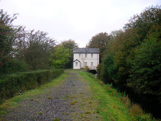 sluice/sluice gate, lock keeper's housesluice/sluice gate, lock keeper's house · 1125 yd
 Castle (in Ruins)Castle, tower house · 1733 yd
 Scragh Bog Nature ReserveNature reserve · 1.0 mi
 Srudarra IslandIslet · 1.1 mi
 TullaghanCastle, tower house · 1.1 mi
 Saint Brigid's WellSpring · 1.2 mi
 United Nations War MemorialMemorial · 1.9 mi