
What is recorded here
In a small stand of ash and sycamore trees, in a narrow strip of pasture, bordered to N by a bungalow and to S by farm sheds, located on a low rise in a natural basin of lowlying ground, with gently rising ground to NE. It is overlooked by higher ground at S. Views are restricted on all sides by farm buildings, trees…
Read the whole record
From the National Monuments Service (Archaeological Survey of Ireland) record MA093-013
Places near here
Photo credits
- Maker not stated on source page, en.wikipedia.org
- Maker not stated on source page, mastodon.scot
- Maker not stated on source page, monumentalireland.ie
- Maker not stated on source page, storage.googleapis.com
- Maker not stated on source page, www.atlasobscura.com
- David Farrell Photography / Western People, www.westernpeople.ie
- National Inventory of Architectural Heritage
- Golfing in Ireland; photographer not stated, Source publisher
- Maker not stated on source page, commons.wikimedia.org
 Church (Site of)Church · 529 yd
Explorer Tom Church in Crossbeg would say in a job interview that its main skill is surviving with very little wall footing. It’s…
 Standing stone in CrossbegStanding stone · 529 yd
Explorer Tom Standing stone in Crossbeg took a nap and forgot to wake up. Locals say a fox used to run the show here, so keep your…
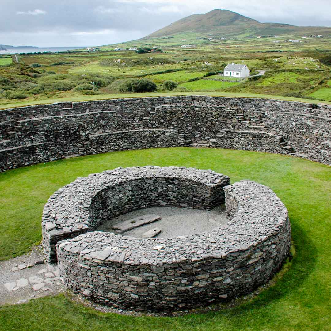 Fairy fort / ringfort in Coolnaha SouthFairy fort / ringfort · 1015 yd
Explorer Tom Fairy fort / ringfort in Coolnaha South is where a priest once lost a bet about how many sheep were in the field. He…
 Fairy fort / stone ringfort in Coolnaha NorthFairy fort / stone ringfort · 1368 yd
Explorer Tom Fairy fort / stone ringfort in Coolnaha North is hiding a treasure chest that only contains a stale biscuit tin and…
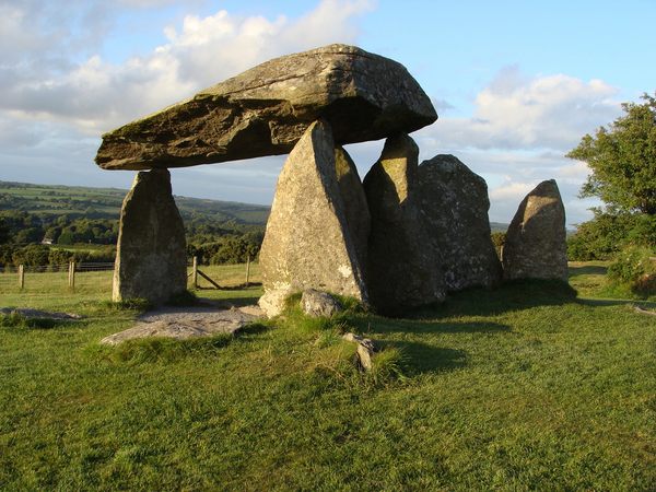 Megalithic structure in Tooreen (costello By.)Megalithic structure · 1727 yd
Explorer Tom Megalithic structure in Tooreen is stuck in a feud over who owns the view. One family says it's theirs; the other just…
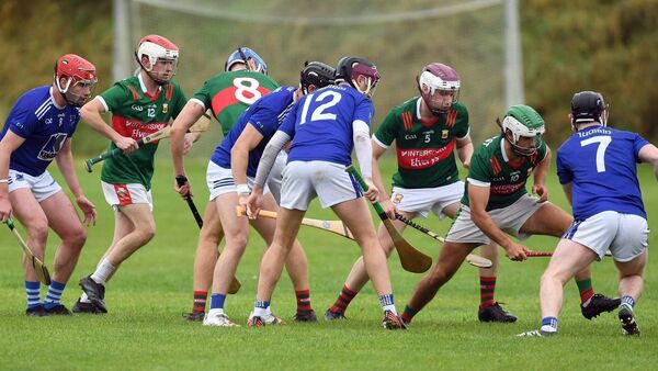 Adrian Freeman Memorial Park, Tooreen GAAGAA ground · 1.1 mi
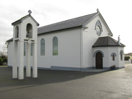 Catholic Church of Saint Mary and Saint MichaelChurch/chapel · 1.1 mi
Explorer Tom Catholic Church of Saint Mary and Saint Michael in Cloongawnagh refuses to fall down because it’s too proud of its…
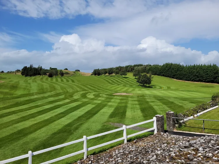 Ballyhaunis Golf ClubGolf course · 1.2 mi
 Fairy fort / ringfort in Coolnaha NorthFairy fort / ringfort · 1.3 mi
Explorer Tom Fairy fort / ringfort in Coolnaha North is a D-shaped mess that clearly has strong opinions on modern architecture. It…
Fairy fort / stone ringfort in BallyhineFairy fort / stone ringfort · 1.3 miExplorer Tom At night, this stone ringfort in Ballyhine makes a sound like a giant clearing its throat. It’s not even on the old…
 Fairy fort / stone ringfort in Carn More,cashelsFairy fort / stone ringfort · 1.4 mi
Explorer Tom Fairy fort / stone ringfort in Carn More, Cashels is constantly being critiqued by local seagulls who think its mossy…
 Graveyard in ChurchparkGraveyard · 4.8 mi
Explorer Tom Graveyard in Churchpark rates every visitor’s outfit from one to ten based on how muddy their boots get. It’s a strict…
More archaeology and monuments in County Mayo · All of County Mayo

What do you know about this place?Tap to add a comment or ask a question