
What is recorded here
Internal diam. 9.6m. A level platform defined by a fosse, a bank, a second fosse and bank and an outer fosse. The earthen banks are all very low and the fosses very shallow. A causeway enters the enclosure from the E. The site is located on the shoulder of a ridge in rough pasture with good views and to the E of a…
Read the whole record
From the National Monuments Service (Archaeological Survey of Ireland) record DG107-022
Places near here
Photo credits
- Jonathan Wilkins, Wikimedia Commons · CC BY-SA 2.0
- Maker not stated on source page, commons.wikimedia.org
- Maker not stated on source page, www.flickr.com
- Maker not stated on source page, www.pinterest.com
- Maker not stated on source page, global.hsmai.org
- National Inventory of Architectural Heritage
- louise price, Wikimedia Commons · CC BY-SA 2.0
- Maker not stated on source page, yandex.ru
- Maker not stated on source page, www.tripadvisor.co.za
- Jonathan Wilkins, Geograph · CC BY-SA 2.0
 Sheebarran RingfortFairy fort / earthen ringfort · 128 yd
Explorer Tom Sheebarran Ringfort is a massive circular space with a ditch so wide it could swallow a small car. It sits on the crest…
 Creevy Ring-Barrow near SheebarranBarrow, ring-barrow · 568 yd
Explorer Tom Creevy Ring-Barrow near Sheebarran is a solid fifteen-metre circle perched on high ground in hilly grazing land. The…
 Tullymore Western Ring-BarrowBarrow, ring-barrow · 1214 yd
Explorer Tom Tullymore Western Ring-Barrow is a six-metre circular dip with a bank and a western causeway, sitting right next to its…
 Tullymore Middle Ring-BarrowBarrow, ring-barrow · 1243 yd
Explorer Tom Tullymore Middle Ring-Barrow is a neat circular dip with a bank and a causeway to the southeast. It’s just a slightly…
 Tullymore Third Ring-BarrowBarrow, ring-barrow · 1291 yd
Explorer Tom Tullymore Third Ring-Barrow sits on the edge of a ridge with views over the Erne valley. It’s twelve metres across…
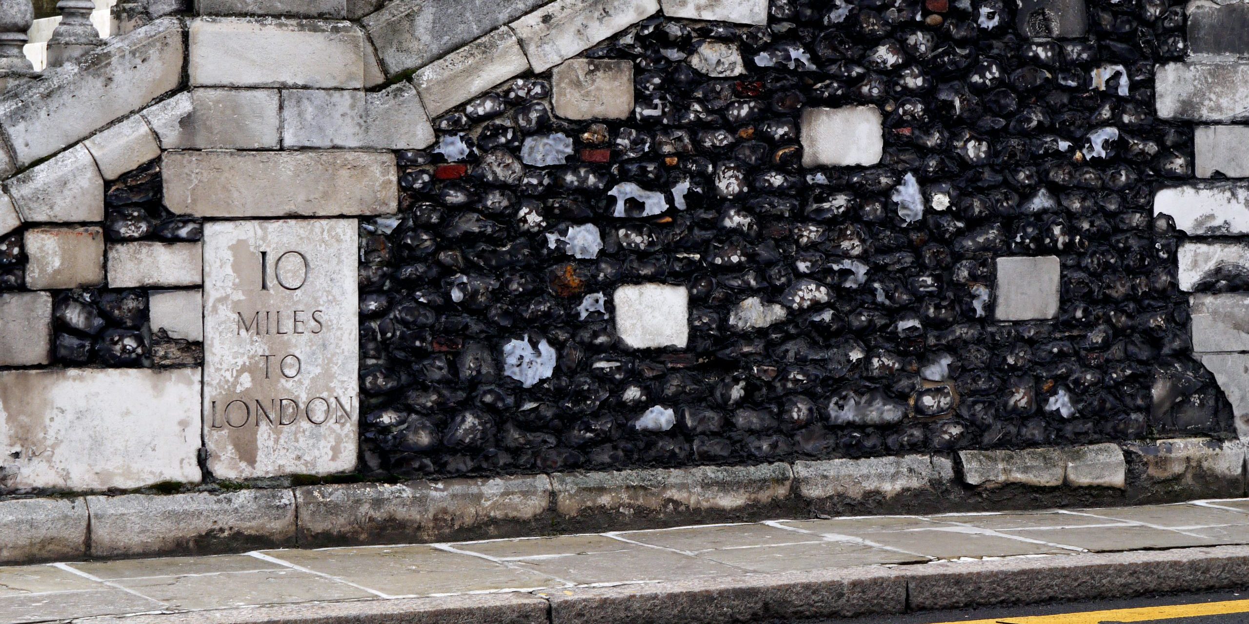 TwomilestoneStanding stone · 1492 yd
Explorer Tom Twomilestone is a standing stone about 2.5m high that sits right on Two Mile Ridge, surrounded by packing stones and a…
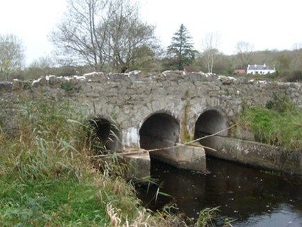 Tullymore BridgeBridge · 1740 yd
Explorer Tom Tullymore Bridge puts a gentle hump in the road above the Two Mile Water. Its three arches date from around 1800, while…
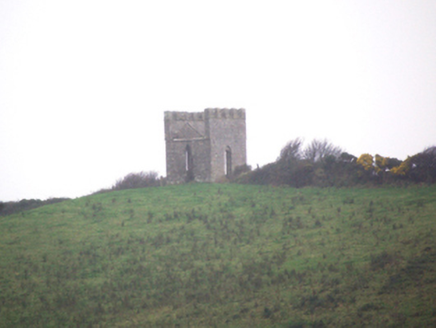 Reynolds' FollyFolly, building misc · 1.1 mi
Explorer Tom Reynolds' Folly was supposedly built so Mrs. Reynolds could safely watch the Donegal Bay view from up high. But wait…
 Kilbarron Old Church GraveyardGraveyard · 1.5 mi
Explorer Tom Kilbarron Old Church Graveyard features a 15th or 16th century ruin with a 2.4m high E gable that has no window at all.…
 Sandhouse HotelHotel · 1.7 mi
Explorer Tom Sandhouse Hotel in County Donegal is built on sand, so technically you're sleeping on a sinking ship. Enjoy the view…
 Moo CafeCafé · 1.7 mi
Explorer Tom Moo Cafe probably has cows hiding in the kitchen, judging by the name and the smell of grass in the air. If your coffee…
 Wardtown StrandBeach / strand · 2.4 mi
Explorer Tom Wardtown Strand is where Donegal's southern edge swaps the usual postcard beach for a broad, changing meeting of river…
More archaeology and monuments in County Donegal · All of County Donegal

What do you know about this place?Tap to add a comment or ask a question