What is recorded here
Situated on a slight rise in undulating poorly drained pasture with good views of surrounding countryside. A large roughly circular area (overall diam. c. 75m E-W; int. diam. c. 30m E-W) delimited by a wide shallow flat-bottomed fosse with a substantial earth and stone bank well preserved from S-W-N-NE but elsewhere it is lower in height and has been defaced in places. There is a modern gap in bank at NE and some old quarry holes at WNW and WSW. The interior of the monument along with the enclosing fosse is traversed by old cultivation ridges running N-S. Most of the interior of the monument has been disturbed by these cultivation ridges. An old ESB pole has been placed on top of the bank at NE. It has been suggested that this monument may be the remains of a possible henge due to the large diameter of the monument or may be an example of a large ring-barrow (SMR File 29/03/1973).
Compiled by: Caimin O’Brien
Date of upload: 20 July 2015
Ring-barrow, likely dating to the Early Bronze Age. It represents a type of burial monument associated with the initial spread of metallurgy and new burial practices in Ireland.
The monument record does not grant public access. Check the route and ask the landowner before entering private land.
- What survives
- Recorded monument
Places near here
 CastleCastle, motte · 398 yd
 Belvillegate lodge · 836 yd
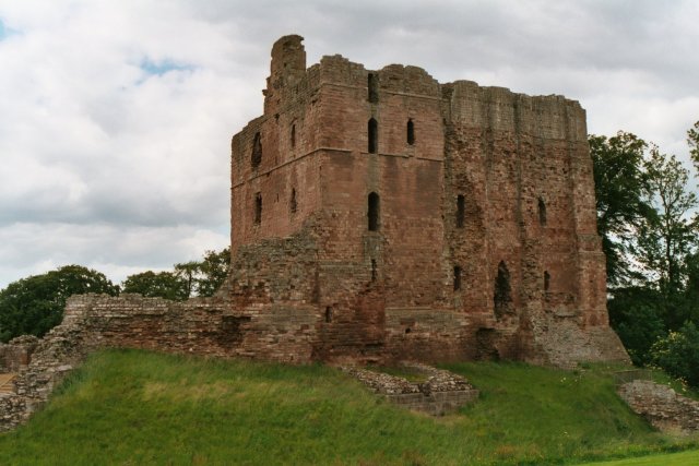 Partially hachuredFairy fort / earthen ringfort · 1125 yd
 Site of MonasteryEcclesiastical site · 1262 yd
 Twyford Housefarmyard complex · 1263 yd
 IndicatedCastle, motte · 1403 yd
 Thatch IslandIslet · 3.9 mi
 Crannells NookBay · 4.2 mi
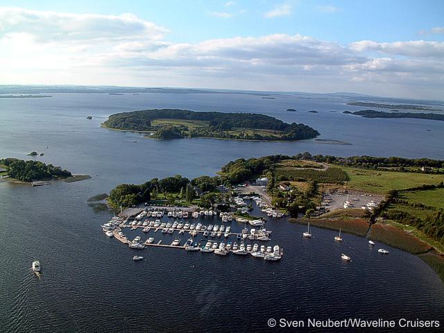 Killinure PointHeadland · 4.2 mi
 Green IslandIslet · 4.7 mi
 Athlone Music MuseumMuseum · 4.7 mi