What is recorded here
On a flat marshy floodplain, on the N bank of the Arrow or Unshin River. A low subcircular mound abutting the riverbank at S and enclosed SW-SE by two fosses with intervening and external banks, all of which peter out at SW and SE before reaching the riverbank. The broadly slumped mound (14m N-S; c. 12m E-W; H 0.5m at S, 0.8m at N) is poorly preserved with a rather flattened top. Its E edge is damaged or partially levelled. Around the base of the mound is the innermost fosse (Wth 4.5m) which is silted up and marked by a dense growth of rushes. Outside this fosse is the intervening bank (Wth c. 3m; int. H 0.25m; ext. H 0.5m) which is in turn surrounded by another fosse (Wth 4.8m) evident as a broad wet depression marked by rushes. The external bank (Wth 5m; int. H 0.35m; ext. H 0.5m) is evident as a broad low flattened grass-covered rise, except SW-W where it has been removed.
The above description is derived from the published 'Archaeological Inventory of County Sligo' compiled by Ursula Egan, Elizabeth Byrne, Mary Sleeman with Sheila Ronan and Connie Murphy (Dublin Stationery Office, 2005).
Date of upload: 18 January 2008
A Neolithic ring-barrow; its earthwork features suggest a funerary monument with possible ritual or territorial significance.
This remains an important historical record, but the official description says the monument is no longer visible or has been destroyed. The monument record does not grant public access. Check the route and ask the landowner before entering private land.
- What survives
- No visible remains or recorded as destroyed
Places near here
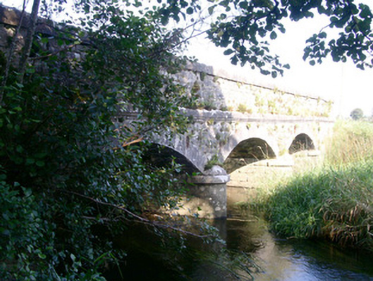 Coolbock Bridgebridge · 57 yd
 Enclosure in MurillyroeEnclosure · 772 yd
 LisbanagherFairy fort / earthen ringfort · 873 yd
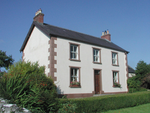 The Beehivefarm house · 968 yd
 James MorrisonMemorial · 1227 yd
 Behy Castle (in Ruins)Castle, tower house · 1.0 mi
 Riverstown Folk ParkHeritage attraction · 1.5 mi
 Castle Douglas (Site of)Castle, unclassified · 1.6 mi
 Giants GraveArchaeological place · 3.8 mi
 Battle of Collooneybattle · 4.5 mi
 School CaveCave · 4.8 mi
 Kesh CorannMountain / peak · 5.2 mi