What is recorded here
The following description is derived from both the published 'Archaeological Inventory of County Louth' (Dublin: Stationery Office, 1986) and the 'Archaeological Survey of County Louth' (Dublin: Stationery Office, 1991). In certain instances the entries have been revised and updated in the light of recent research.
Date of upload/revision: 17 July 2007
Situated on summit of Mt Oriel, to SE of LH020-005001- and LH020-005002-. Circular, roughly level area (diam. c. 14m) enclosed by slight traces of a bank (Wth c. 1m, H c. 0.2m) on SW, with slight traces of a shallow internal ditch (Wth c. 2m) at this point. The site has a wide, shallow external fosse (Wth 6m, D c. 0.3m) from N-W-SE (overall diam. 26.6m). The site is possibly a type of ring-barrow but interpretation is badly affected by tree-planting and by a former field bank (Wth c. 2-3m) running across the site NE-SW.
A ring-barrow, likely dating to the Early Bronze Age, associated with burial practices common in eastern Ireland. Its form suggests a single interment beneath a circular earthen mound, typical of the period.
The monument record does not grant public access. Check the route and ask the landowner before entering private land.
- What survives
- Recorded monument
Places near here
 Mount OrielMountain / peak · 251 yd
 Mount Oriel FortArchaeological place · 469 yd
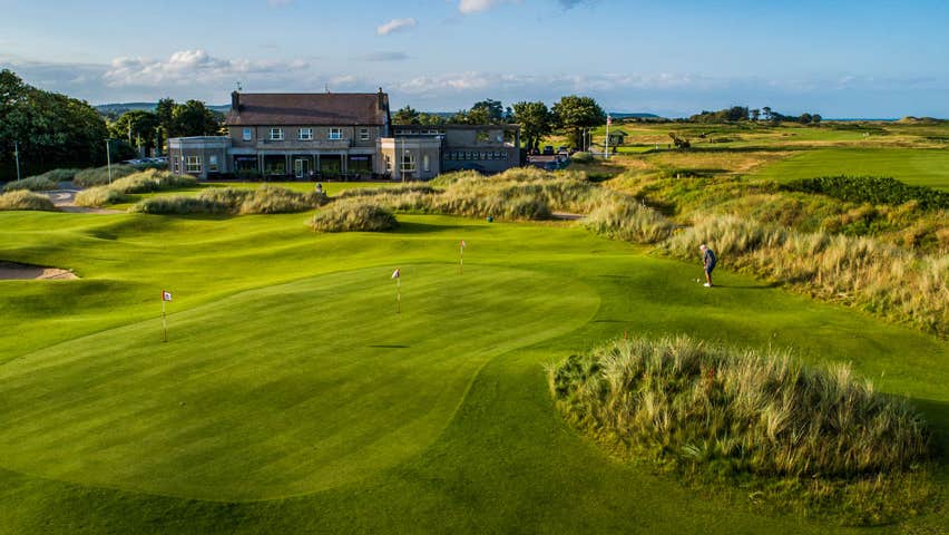 Fulacht fia in CollonFulacht fia · 1461 yd
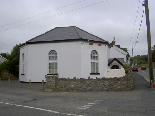 church/chapelchurch/chapel · 1.1 mi
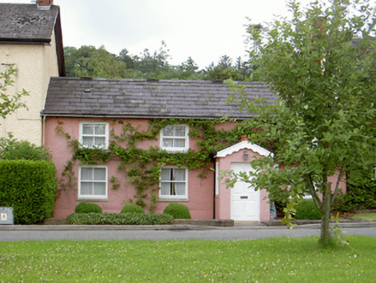 Grinny's Cottagehouse · 1.2 mi
 Black HillMountain / peak · 1.7 mi
 Cloghar WoodForest · 1.9 mi
 Pedunculate OakPedunculate Oak · 2.2 mi
 Site of Old CastleCastle, unclassified · 2.3 mi
 Irish Military Museum And ParkMuseum · 2.4 mi
 Not idicatatedCastle, unclassified · 3.2 mi
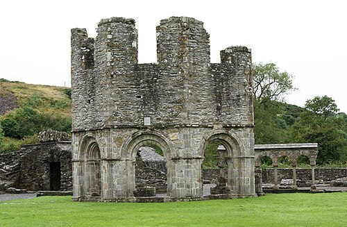 Mellifont AbbeyHeritage attraction · 3.7 mi