What is recorded here
National Monument No. 532. In pasture on top of Clonin Hill with extensive views of the surrounding countryside. Impressive view of burial mound (OF010-004001-) on top of Croghan Hill 4.5km to W. Smaller ring-barrow (OF011-001002-) now levelled located c. 20 metres to NW of ring-barrow (OF011-001----). No surface remains visible. Described in 1970 as following: 'Approx. 56m NW from centre of the barrow is a smaller barrow divided in two by a modern field fence wall. This smaller barrow measures 11m approx. in overall width, with the fosse measuring 3m in width' (SMR File 23/01/1970)'. The field boundary described in 1970 and indicated on all editions of the OS 6-inch maps has been removed in recent times and the ring-barrow was probably levelled when the field boundary was removed.
National Monument No. 532. In pasture on top of Clonin Hill with extensive views of the surrounding countryside. Impressive view of burial mound (OF010-004001-) on top of Croghan Hill 4.5km to W. Smaller ring-barrow (OF011-001002-) now levelled located c. 20 metres to NW of ring-barrow (OF011-001----). No surface remains visible. Described in 1970 as following: 'Approx. 56m NW from centre of the barrow is a…
From the National Monuments Service (Archaeological Survey of Ireland) record OF011-001002
This remains an important historical record, but the official description says the monument is no longer visible or has been destroyed. The monument record does not grant public access. Check the route and ask the landowner before entering private land.
- What survives
- No visible remains or recorded as destroyed
Places near here
Photo credits
- National Inventory of Architectural Heritage
- Sarah777 at en.wikipedia, Wikimedia Commons · Public domain
- Kenneth Gallery Smyth, Geograph · Creative Commons Attribution-ShareAlike 2.0
- Mike Searle, Geograph · CC BY-SA 2.0
- Douglas P.Bermingham, Wikimedia Commons · CC BY-SA 3.0
- Robin Pollard, Wikimedia Commons · CC BY 3.0
Clonin EarthworksMountain / peak · 86 ydMass-rock in CloninMass-rock · 99 yd Killure LodgeHouse · 704 ydpresbytery/parochial/curate's house785 ydHoly PlantationForest · 1414 ydVictoria PlantationWood · 1.0 miMoat HillMountain / peak · 2.5 miCroghan HillMountain / peak · 2.8 miDownan Grave YardGraveyard · 3.9 miCastle JordanArchaeological place · 5.0 miGrange CastleCastle, tower house · 6.1 miCroppies' GraveMemorial · 10 mi
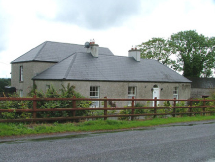 Killure LodgeHouse · 704 yd
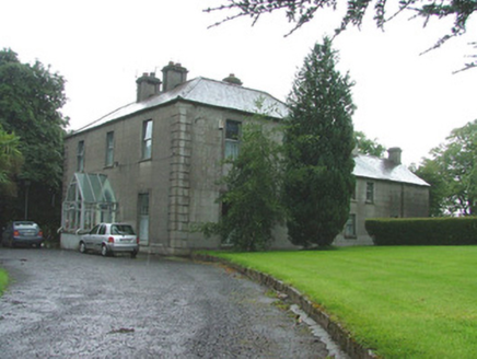 presbytery/parochial/curate's house785 ydHoly PlantationForest · 1414 ydVictoria PlantationWood · 1.0 miMoat HillMountain / peak · 2.5 mi
 Croghan HillMountain / peak · 2.8 mi
 Downan Grave YardGraveyard · 3.9 mi
 Castle JordanArchaeological place · 5.0 mi
 Grange CastleCastle, tower house · 6.1 mi
.jpg/250px-Croppies_Grave_Clonard_-_panoramio_(1).jpg "Photo: Robin Pollard, Wikimedia Commons · CC BY 3.0") Croppies' GraveMemorial · 10 mi
Croppies' GraveMemorial · 10 miMore archaeology and monuments in County Offaly · All of County Offaly
What do you know about this place?