
What is recorded here
Monument surveyed in 2015 and described by McGuinness (2015, 40) as following: ‘Fairly well-preserved, previously unrecorded ring-barrow (Diam. 19m N-S x 18.2m c. E-W), comprising a low, flat-topped circular mound (Diam. (base) 9m N-S x 8.2m E-W; Diam. (upper surface) 6m N-S x 6m E-W) with quite well-defined edge,…
Read the whole record
From the National Monuments Service (Archaeological Survey of Ireland) record WM020-142
Places near here
Photo credits
- National Inventory of Architectural Heritage
- Maker not stated on source page, www.gaia.com
- Maker not stated on source page, www.pinterest.com
- Maker not stated on source page, www.alamy.com
- Photographer not named, clonkillgaa.ie
- Maker not stated on source page, en.wikipedia.org
- Eric Jones, Geograph · Creative Commons Attribution-ShareAlike 2.0
- Maker not stated on source page, tr.pinterest.com
- Maker not stated on source page, www.pinterest.ru
- Maker not stated on source page, leadingestates.com
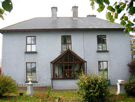 RamparkFarm house · 540 yd
Explorer Tom Rampark was once ruled by a goat who decided the overhanging eaves were its personal balcony. The farmer eventually…
 Killynan HouseFarmyard complex · 1.2 mi
Explorer Tom Killynan House in Killynan is an extensive collection of outbuildings associated with a now-demolished house, featuring…
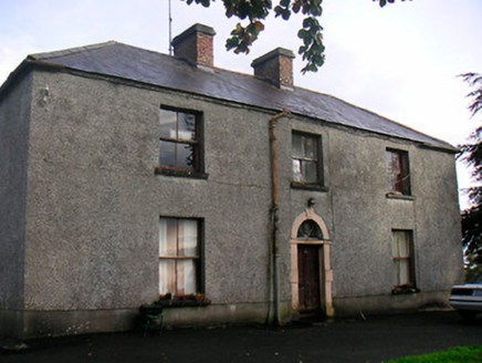 Newgrove HouseFarm house · 1.3 mi
Explorer Tom Newgrove House in Loughagar More is derelict but still acting like it's hosting a very exclusive garden party that…
 Fairy fort / earthen ringfort in CastledownFairy fort / earthen ringfort · 1.6 mi
Explorer Tom Fairy fort / earthen ringfort in Castledown is haunted by a fiddler who played all night until the bank collapsed out…
 Fairy fort / earthen ringfort in WooddownFairy fort / earthen ringfort · 1.8 mi
Explorer Tom Fairy fort in Wooddown is sitting at the edge of a bog where the Vikings definitely got lost. It has two earthen banks…
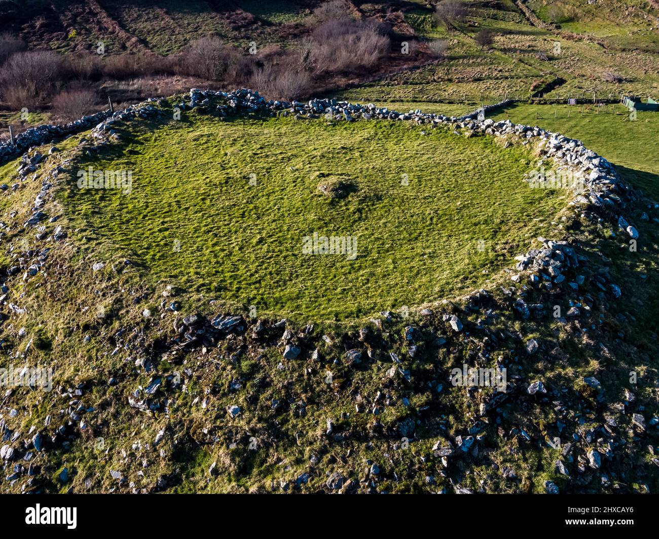 Fairy fort / ringfort in BallycorFairy fort / ringfort · 1.9 mi
Explorer Tom The local sheep in Ballycor think this ringfort is just a fancy bed for napping all day long. They’ve seen nothing but…
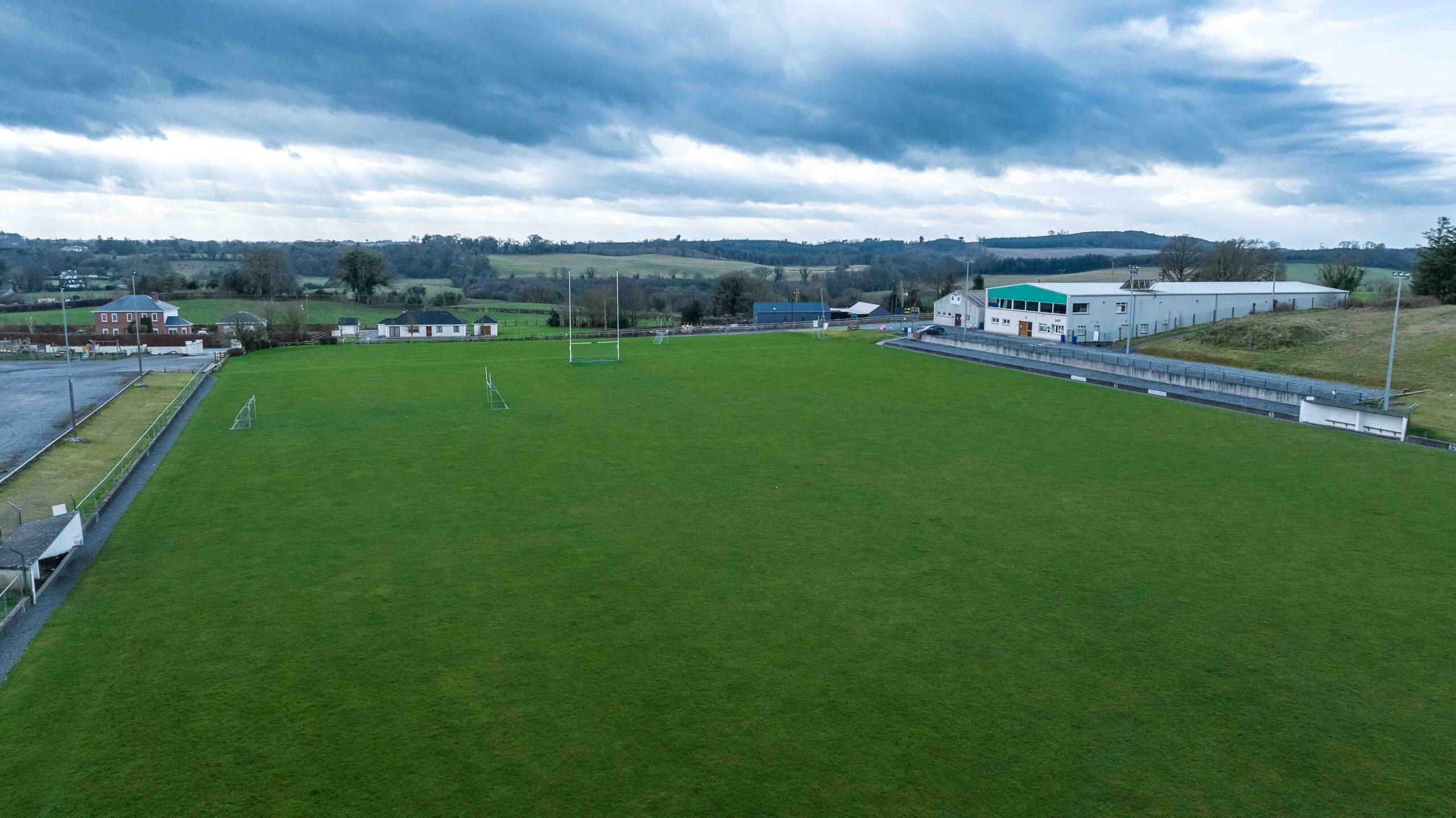 Clonkill GAA pitchGAA ground · 2.1 mi
 Fairy fort / earthen ringfort in TevrinFairy fort / earthen ringfort · 2.2 mi
Explorer Tom Fairy fort / earthen ringfort in Tevrin has a superstition that if you trip over the bank, you’ll find a hidden…
 Saint Joseph's Catholic ChurchChurch/chapel · 2.3 mi
Explorer Tom Saint Joseph’s Church in Tevrin has had so many names that it gave up trying to remember them all and just settled on…
 Church (Site of)Church · 2.7 mi
Explorer Tom Church in Toberaquill has an imaginary fan club that meets every Tuesday to sing hymns no one remembers. It’s sitting…
 Toberallen GraveyardGraveyard · 2.7 mi
Explorer Tom Toberallen Graveyard thinks the local sheep have more sense than most visitors because they always know exactly where…
 CastleCastle, motte and bailey · 4.0 mi
Explorer Tom Castle in Banagher was built by someone who was really thinking about lunch while laying the foundations. It’s got that…
More archaeology and monuments in County Westmeath · All of County Westmeath

What do you know about this place?Tap to add a comment or ask a question