What is recorded here
Towards the top of a S-facing slope. D-shaped grass-covered platform (dims of top 10.4m NE-SW; 9.6m NW-SE; dims of base 13m NE-SW; 11.4m NW-SE; H 0.45-0.7m), which was straightened at the NW by a NNE-SSW field bank, with a mound (diam. 4.9m NW-SE; H 0.2m) just NW of the centre. Ring-barrow (RO039-014001-) is c. 10m to the N, and rath (RO039-015----) is c. 30m to the S, while barrow (RO039-014003-) may have been just to the S. (Knox 1914b, 352)
Compiled by: Michael Moore
Date of upload: 24 August 2010
A ring-barrow, likely dating to the Early Bronze Age, representing a type of burial monument associated with single inhumations. Its location on a prominent slope suggests ritual or symbolic significance in the landscape.
The monument record does not grant public access. Check the route and ask the landowner before entering private land.
- What survives
- Recorded monument
Places near here
 Enclosure in CarrownabricknaEnclosure · 115 yd
 Not inidcatedFairy fort / earthen ringfort · 1163 yd
 Fortview Househouse · 1556 yd
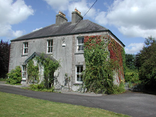 Castleview Househouse · 1.2 mi
 Roscommon CastleCastle · 1.3 mi
 Big IslandForest · 3.4 mi
 Little IslandForest · 3.4 mi
 CastleCastle, unclassified · 4.6 mi
 Leitrim CastleCastle, unclassified · 5.2 mi
 Hangman's HillMountain / peak · 6.9 mi
 Sally IslandIslet · 7.0 mi
 Mount MaryMountain / peak · 9.0 mi