
What is recorded here
Towards the top of a S-facing slope. The cropmark of a rectangular feature (dims c. 25m NE-SW; c. 25m NW-SE) can be seen on aerial photographs (GSIAP: M 144-5), but it is not visible at ground level in pasture. Ring-ditch (RO039-085002-) is immediately to the SW, barrows (RO039-014001-, RO039-014002-, RO039-014003-) and rath (RO039-015----) are c. 100m to the E-SE.
Compiled by: Michael Moore
Date of upload: 24 August 2010
The monument record does not grant public access. Check the route and ask the landowner before entering private land.
- What survives
- Recorded monument
Places near here
 Not inidcatedFairy fort / earthen ringfort · 1275 yd
 IndicatedEnclosure, large enclosure · 1578 yd
 Fortview Househouse · 1596 yd
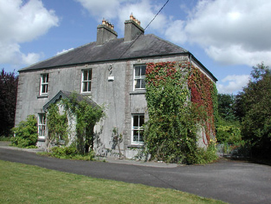 Castleview Househouse · 1.2 mi
 Roscommon CastleCastle · 1.3 mi
 Big IslandForest · 3.5 mi
 Little IslandForest · 3.5 mi
 CastleCastle, unclassified · 4.5 mi
 Leitrim CastleCastle, unclassified · 5.2 mi
 Hangman's HillMountain / peak · 6.9 mi
 Sally IslandIslet · 7.0 mi
 Mount MaryMountain / peak · 9.0 mi
Other information
Photo: Credit not shown in the picture search · Rights wording not checked; contact us if this picture should be removed