What is recorded here
In damp pasture, on a N-facing slope. D-shaped area (4m NE-SW straight side; 4m NW-SE) defined by inner fosse (Wth 2.95m; D 0.25m) SW-NE which is infilled S-SW with up-cast drainage material. Outer bank (Wth 2.4m; int. H 0.25m; ext. H 0.15m) is best preserved SW-W but barely traceable W-NW. Monument truncated by field drain ENE-SE. Ringfort (LI024-014001-) c. 24m to NNW. Level interior under oasture.
Compiled by: Denis Power
Date of upload: 6 December 2013
A Neolithic ring-barrow, c. 2500–2000 BCE, representing an early form of burial monument associated with the construction of earthwork enclosures and fosse systems. Its significance lies in its contribution to understanding Neolithic funerary practices and landscape organisation in the region.
The monument record does not grant public access. Check the route and ask the landowner before entering private land.
- What survives
- Recorded monument
Places near here
 Enclosure in LinfieldEnclosure · 840 yd
 Enclosure in LisheenEnclosure · 918 yd
 Church in LinfieldChurch · 1023 yd
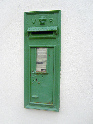 post boxpost box · 1381 yd
 (Site of) Nicker CastleCastle, unclassified · 1410 yd
 KnockseefinMountain / peak · 1548 yd
 Kilduff Castle (in ruins)Castle, tower house · 1.3 mi
 ToberagaddySpring · 1.4 mi
 St. Patrick's WellSpring · 3.7 mi
 Kilteely HillMountain / peak · 4.1 mi
 Graveyard in AbingtonGraveyard · 4.9 mi
 Flat cemetery in Knockainy WestFlat cemetery · 8.1 mi