
What is recorded here
In pasture 15m W of stream that marks the townland boundary with Killeenaverra. Ring-barrow (LI024-152002-) located 15m to S. Not depicted on the OS maps. Identified by Bruff aerial photographic survey in 1986 (Bruff 55; AP 4/3683) as a circular shaped cropmark. A circular cropmark is visible in the NE corner of field on Google Earth orthoimage dated 28/06/2018.
Compiled by: Martin Fitzpatrick
Date of upload: 22 July 2020
A Neolithic ring-barrow, dating to approximately 3000–2500 BCE, typically used as a burial monument for one or more individuals. Its presence indicates early agricultural settlement and ritual practices in the region.
The monument record does not grant public access. Check the route and ask the landowner before entering private land.
- What survives
- Recorded monument
Places near here
 BarrowBarrow, unclassified · 141 yd
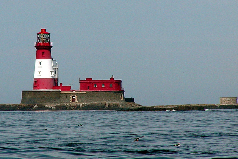 Enclosure in LongstoneEnclosure · 719 yd
 Longstone Househouse · 862 yd
 Dromkeenhouse · 1371 yd
 KnockseefinMountain / peak · 1.4 mi
 CastleCastle, unclassified · 1.5 mi
 (Site of) Nicker CastleCastle, unclassified · 1.7 mi
 St. Patrick's WellSpring · 2.2 mi
 Kilteely HillMountain / peak · 2.6 mi
 ToberagaddySpring · 2.9 mi
 Flat cemetery in Knockainy WestFlat cemetery · 6.4 mi
 Ballinvreena LoopVisitor information · 12 mi
Other information
Photo: Credit not shown in the picture search · Rights wording not checked; contact us if this picture should be removed