What is recorded here
Located on top of a drumlin. This is s circular grass-covered area (diam. of top 11.5m NE-SW; 10.5m NW-SE; H 0.3-0.4m) defined by a flat-bottomed fosse (Wth of top 5.3-7.2m; Wth of base 3-3.7m; ext. D 0.8-0.9m) and an overgrown outer bank (Wth of base 3.5-5m; ext. H 0.3-0.7m). There is a gap (Wth of base 1.2m) in the bank but no causeway at W.
The above description is derived from the published 'Archaeological Inventory of County Meath' (Dublin: Stationery Office, 1987). In certain instances the entries have been revised and updated in the light of recent research.
Revised by: Michael Moore
Date of revision: 26 October 2018
A ring-barrow, likely dating to the Early Bronze Age. Its construction reflects typical burial practices of the period in the region.
The monument record does not grant public access. Check the route and ask the landowner before entering private land.
- What survives
- Recorded monument
Places near here
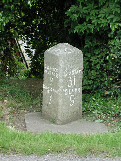 milestone/milepostmilestone/milepost · 1005 yd
 Font in LoughbrackanFont · 1013 yd
 Loughbrackan FortCastle, motte and bailey · 1240 yd
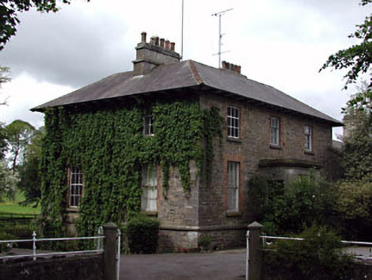 The Gleberectory/glebe/vicarage/curate's house · 1301 yd
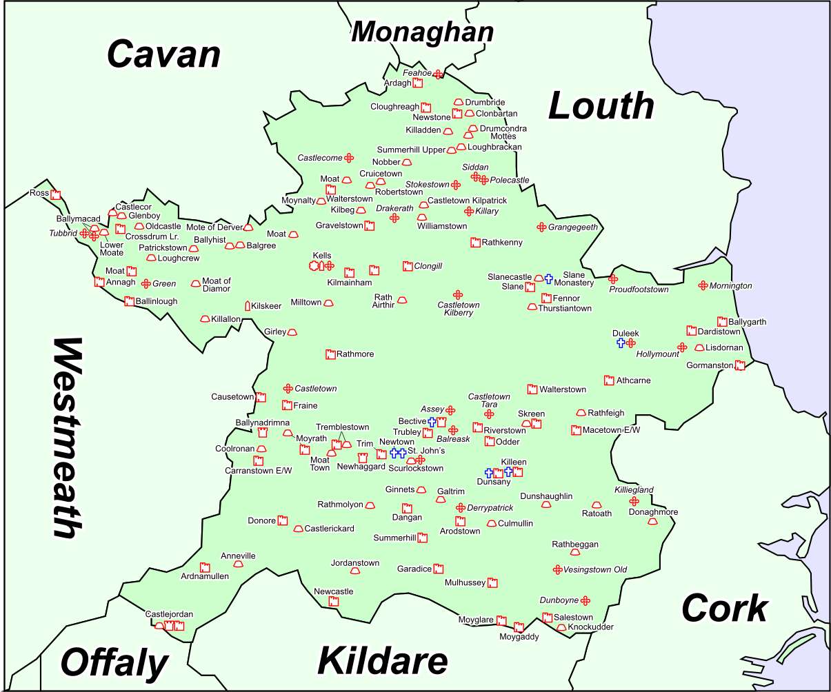 Font in DrumcondraFont · 1315 yd
 Drumran HillMountain / peak · 1641 yd
 CastleCastle, motte · 1729 yd
 Yellow HillMountain / peak · 2.0 mi
 Nobber GreenwayMemorial · 3.8 mi
 Headstown ForestForest · 4.2 mi
 Valley WoodWood · 4.2 mi
 Sir Frederick Foster MemorialMemorial · 5.1 mi