
What is recorded here
On low-lying, wet pasture, which is cut by land drains and watercourses. Within a large complex of ring-barrows. Not depicted on OSi historic maps. Identified as an oval-shaped cropmark by the Bruff aerial photographic survey in 1986 (Bruff 15601: AP 4/3665). Monument is not visible on Digital Globe orthoimage taken 2011-2013 or on Google Earth orthoimage taken 28/06/2018.
See attached Google Earth orthoimage 28/06/2018 and Bruff aerial survey image labelled Bruff 15601.
Compiled by: Alison McQueen and Vera Rahilly
Date of upload: 8 September 2020
Ring-barrow, likely dating to the Early Bronze Age. Part of a significant burial complex, indicating communal or elite burial practices in the Bruff area.
The monument record does not grant public access. Check the route and ask the landowner before entering private land.
- What survives
- Recorded monument
Places near here
 BarrowBarrow, ring-barrow · 111 yd
 Field system in Ballyphilip (clanwilliam By.)Field system · 283 yd
 Aglishcormick Grave YardChurch · 1.0 mi
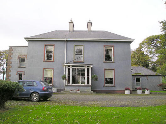 Cloverfield Housecountry house · 1.0 mi
 St. Patrick's WellSpring · 1.5 mi
 Kilteely HillMountain / peak · 1.9 mi
 Castle (in ruins)Castle, unclassified · 2.2 mi
 Ballyvorneen Ho.Castle, tower house · 2.3 mi
 KnockseefinMountain / peak · 2.7 mi
 Flat cemetery in Knockainy WestFlat cemetery · 5.1 mi
 St Patrick's WellSpring · 7.9 mi
 Ballinvreena LoopVisitor information · 11 mi
Other information
Photo: Credit not shown in the picture search · Rights wording not checked; contact us if this picture should be removed