What is recorded here
In pasture. A circular enclosure (diam. c. 12m) with an internal fosse, visible on satellite imagery (© Google Earth, imagery date 18 November 2020), identified and reported by Jean-Charles Caillère.
See attached:
TS066-123----_01 Google Earth image (imagery date 18 November 2020)
Compiled by: Jean Farrelly
Date of upload: 10 January 2022
A ring-barrow, likely dating to the Early Bronze Age, characterized by a circular earthen enclosure with an internal fosse. Such monuments are significant as they often mark burial sites and reflect early communal land use and ritual practices.
The monument record does not grant public access. Check the route and ask the landowner before entering private land.
- What survives
- Recorded monument
Places near here
 Enclosure in Ballynagleragh,toor (bruis Par.)Enclosure · 298 yd
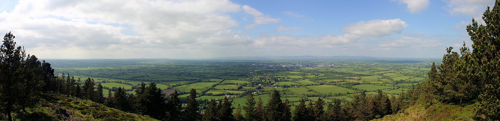 RathfaunEnclosure · 535 yd
 CastleCastle, ringwork · 1170 yd
 MoatCastle, motte · 1213 yd
 Mount Bruishouse · 1271 yd
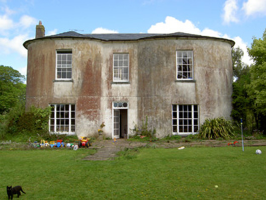 Shronell Househouse · 1392 yd
 SlievenamuckMountain / peak · 2.2 mi
 Bansha ForestForest · 2.8 mi
 Glen of AherlowViewpoint · 3.9 mi
 Christ the KingViewpoint · 4.0 mi
 The RockViewpoint · 4.1 mi
 Carn (site of)Cairn, burial cairn · 4.2 mi