What is recorded here
In pasture, on a gentle S-facing slope. Sub-circular area (dims. 25m N-S; 30m E-W) defined by internal fosse (Wth 9.05m; D 0.9m) which is shallow around N arc. Outer bank (Wth 6.25m; int. H 1.05m; ext. H 1.0m) is disturbed at W and straightened along S due to former field boundary at this location. Bank squared-off to a corner at SE and is riddled with rabbit burrows along S. Possible causewayed entrance (Wth 4m) across fosse at S. Interior undulates as it slopes down to S. Depression (10m E-W; 4m N-S) within N sector. Monument had been planted with evergreens (Cahill 1982). Field boundary removed to S and W. Ringforts (TS070-072----) and (TS070-072001-) located 230m and 275m respectively to SSE.
Compiled by: Jean Farrelly
Date of upload: 26 August 2011
A ring-barrow, likely dating to the Early Bronze Age, characterized by its sub-circular fosse and outer bank. Such monuments are significant as they represent early funerary and ritual practices in the Irish landscape.
The monument record does not grant public access. Check the route and ask the landowner before entering private land.
- What survives
- Recorded monument
Places near here
 Grove WoodForest · 179 yd
 Enclosure in GroveEnclosure · 858 yd
 Newtown Househouse · 1022 yd
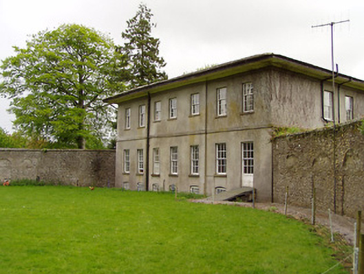 Lakefield Housewalled garden · 1194 yd
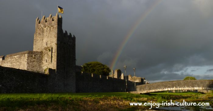 Redcity FortFairy fort / earthen ringfort · 1637 yd
 Pedunculate OakPedunculate Oak · 1638 yd
 Edmond's CastleCastle · 1.1 mi
 Court CastleCastle · 1.1 mi
 East GateMemorial · 1.1 mi
 Kilknockan HillMountain / peak · 2.2 mi
 CarrigdotiaMountain / peak · 3.8 mi
 Templemartin (in ruins)Church · 1506 yd