
What is recorded here
On a natural terrace on a N-facing slope in undulating pasture. The land rises c. 10m S of the church and falls away immediately N of the church. A stream runs E-W c. 50m to the N in a small valley and the land rises sharply to the N on the other side of the stream. Fethard (TS070-040----) dominates the view c. 340m to the N. A simple, undivided church (int. dims. 8.67m x 5.2m; N wall T 0.9m; W gable T 1.1m) of limestone rubble, roughly coursed, all the quoins have been robbed. The E and W gable (H c. 5m above int. and c. 6m above ext.) are largely intact and the N wall (H 2.45m above int.) survives, all ivy clad. The S wall has collapsed, with some grass and bramble-covered rubble on the line of the wall. The church was entered through a doorway at the W end of the N wall. Only the partial remains of a relieving arch over the doorway (H 2.1m from spudstone to voussoir), a low door surround on the E side and a spudstone on the W side survives. The ground falls away (D 0.9m) immediately N of the doorway.The church was lit by at least three windows. There is a single, flat-headed window in the W gable, only the lintel of which survives, it is decorated with punch tooling with a plain margin. A breach at the E end of the N wall is likely to have contained a window and the window in the E gable has been replaced by a later crude single light and the embrasure enlarged and subsequently blocked up. According to the OS Letters (O'Flanagan 1930, vol. 1, 78-9 (211-12)) there is no burial ground attached to the church.
Compiled by: Jean Farrelly
Date of upload: 26 August 2011
The monument record does not grant public access. Check the route and ask the landowner before entering private land.
- What survives
- Recorded monument
Places near here
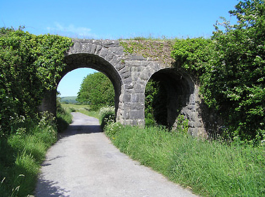 bridgebridge · 183 yd
 Flour MillWater mill, vertical-wheeled · 353 yd
 European YewEuropean Yew · 387 yd
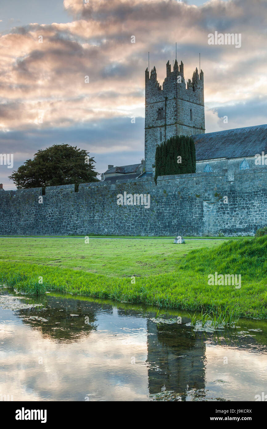 Almshouse in FethardAlmshouse · 395 yd
 Grave YardGraveyard · 399 yd
 IndicatedCastle, tower house · 408 yd
 Edmond's CastleCastle · 409 yd
 East GateMemorial · 518 yd
 Grove WoodForest · 1625 yd
 Kilknockan HillMountain / peak · 1.4 mi
 CarrigdotiaMountain / peak · 4.3 mi
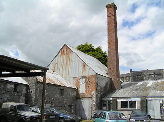 factoryfactory · 389 yd
Other information
Photo: Credit not shown in the picture search · Rights wording not checked; contact us if this picture should be removed