What is recorded here
On a gentle SE-facing slope. Oval overgrown platform (dims c. 30m E-W; c. 22m N-S; H 0.8m) defined by a rounded fosse (Wth of base 4m), and an outer earth and stone bank (Wth 2.6m; int. H 0.75m; ext. H 0.15m) ENE-WNW which has been truncated at N by a WNW-ESE field bank and hedge. There is no identifiable original entrance.
Compiled by: Michael Moore
Date of upload: 24 August 2010
The monument record does not grant public access. Check the route and ask the landowner before entering private land.
- What survives
- Recorded monument
Places near here
 IndicatedEnclosure, large enclosure · 1023 yd
 Lord's WellArchaeological place · 1050 yd
 Roscommon CastleCastle · 1429 yd
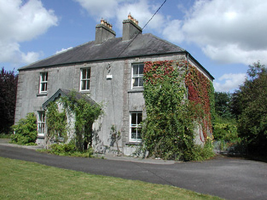 Castleview Househouse · 1495 yd
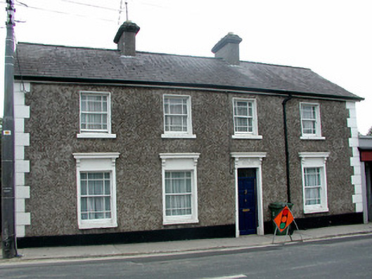 Sunny Side Househouse · 1726 yd
 Little IslandForest · 2.9 mi
 Big IslandForest · 2.9 mi
 CastleCastle, unclassified · 4.3 mi
 Hangman's HillMountain / peak · 6.3 mi
 Sally IslandIslet · 6.6 mi
 Castle KellyCastle, tower house · 8.2 mi
 Mount MaryMountain / peak · 8.8 mi