What is recorded here
In pasture, on a S-facing slope, abutting a ditch barrow (TS066-193001-) to the E. Identified during field survey by Alison McQueen and Vera Rahilly (17 February 2009). An enclosure (TS066-192----) is located c. 23m to the SW. A D-shaped area (dims. 5.6m N-S; 3.25m E-W) defined by a well-preserved fosse (overall Wth 2.05m; basal Wth 0.4m; D 0.2m) and the remains of a possible outer bank visible in the SE and NW quadrants. The monument is transected by a linear feature aligned N-S (Wth 1m; H 0.06m), which is possibly up-cast from a shallow drain across the W sector.
Compiled by: Jean Farrelly
Date of revised upload: 9 September 2014
A ring-barrow, likely dating to the Early Bronze Age, associated with burial practices of the period; its location near a ditch barrow suggests a possible funerary landscape or ceremonial grouping.
The monument record does not grant public access. Check the route and ask the landowner before entering private land.
- What survives
- Recorded monument
Places near here
 CastleCastle, ringwork · 832 yd
 Site of ChurchChurch · 1378 yd
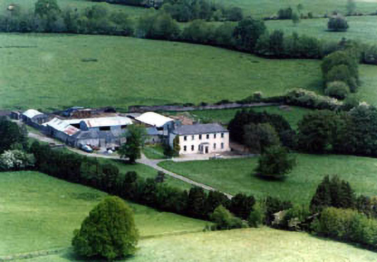 Ballinardhouse · 1555 yd
 Enclosure in Lattin NorthEnclosure · 1717 yd
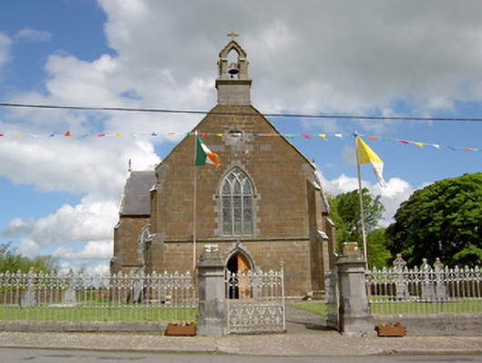 Catholic Church of the Assumptionchurch/chapel · 1.1 mi
 Site of Castle LoaghnyCastle, unclassified · 1.7 mi
 Oola HillMountain / peak · 3.2 mi
 SlievenamuckMountain / peak · 4.3 mi
 Carn (site of)Cairn, burial cairn · 4.5 mi
 Bansha ForestForest · 4.8 mi
 St Patrick's WellSpring · 6.7 mi
 Saint Patrick's WellSpring · 6.9 mi