What is recorded here
In pasture, on a S-facing slope where there are numerous dry, linear drainage channels. Identified during field survey by Alison McQueen and Vera Rahilly (17 February 2009). A circular area (dims. 5m N-S; 4.8m E-W) defined by a fosse (Wth 1.2-1.95m; D 0.1-0.11m) and the remains of a possible bank (Wth 2.1-2.35m; int. H 0.1-0.18m; ext. H 0.1-0.11m) in the SE quadrant. The interior has been raised on the S side to create a level platform within. A drainage channel running N-S abuts the fosse at the W.
Compiled by: Jean Farrelly
Date of revised upload: 9 September 2014
A Neolithic ring-barrow; significant as a rare and early form of burial monument in the Irish landscape.
The monument record does not grant public access. Check the route and ask the landowner before entering private land.
- What survives
- Recorded monument
Places near here
 CastleCastle, ringwork · 876 yd
 Site of ChurchChurch · 1371 yd
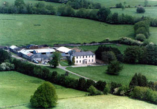 Ballinardhouse · 1561 yd
 Enclosure in Lattin NorthEnclosure · 1752 yd
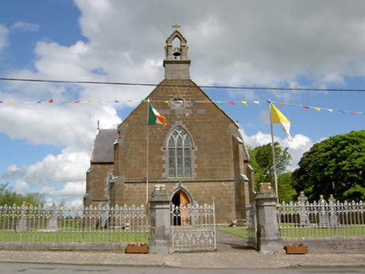 Catholic Church of the Assumptionchurch/chapel · 1.2 mi
 Site of Castle LoaghnyCastle, unclassified · 1.7 mi
 Oola HillMountain / peak · 3.2 mi
 SlievenamuckMountain / peak · 4.4 mi
 Carn (site of)Cairn, burial cairn · 4.5 mi
 Bansha ForestForest · 4.9 mi
 St Patrick's WellSpring · 6.8 mi
 Saint Patrick's WellSpring · 6.9 mi