What is recorded here
Situated on top of a natural rise of ground in an upland area with extensive views. A circular flat-topped mound (H 0.7m; top diam. 3.5m E-W; base diam. 7.5m E-W) enclosed by a fosse (Wth 3.6m) and a poorly preserved earthen outer bank (Wth 1.5m). Overall diameter 17.5m E-W.
The above description is derived from 'The Archaeological Inventory of County Tipperary. Vol. 1 - North Tipperary' compiled by Jean Farrelly and Caimin O'Brien (Dublin: Stationery Office, 2002). In certain instances the entries have been revised and updated in the light of recent research.
Date of upload/revision: 22 September 2008
A Neolithic ring-barrow, dating to approximately 3000–2500 BCE, characterized by a circular flat-topped mound and surrounding fosse. Such monuments are significant as early funerary structures, often associated with elite burials and ritual practices in prehistoric Britain.
The monument record does not grant public access. Check the route and ask the landowner before entering private land.
- What survives
- Recorded monument
Places near here
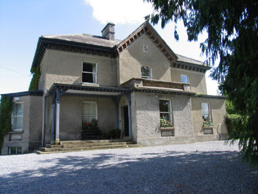 Somerset Househouse · 504 yd
 Enclosure in AbbevilleEnclosure · 792 yd
 EnclosureEnclosure, large enclosure · 867 yd
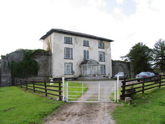 Abbeville Househouse · 1005 yd
 Lackeen castle (in ruins)Castle, tower house · 1744 yd
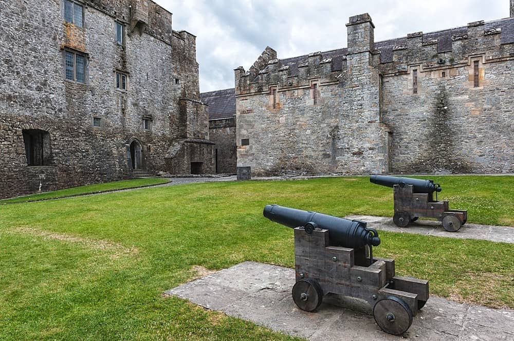 Castle, Kilcarren Ho.Castle, unclassified · 1.5 mi
 Lumcloon WoodWood · 1.9 mi
 Killeen WoodWood · 4.8 mi
 Sallow IslandIsland · 5.3 mi
 Portland IslandIsland · 5.4 mi
 Banagher MarinaHeritage attraction · 8.2 mi
 MacDonagh HouseMemorial · 9.5 mi